Browse categories
Explore
Fiverr Pro
English
$
USD

Level 1

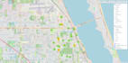
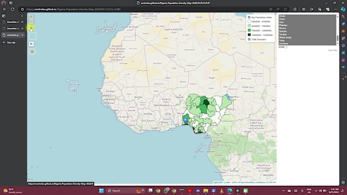
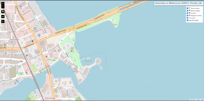
In the digital age, visualizing geospatial data through interactive web maps is crucial for decision-making and communication. My Web Mapping Services are designed to convert your spatial data into dynamic, user-friendly maps that are accessible anytime, anywhere. Enhance your business operations, public engagement, and strategic planning with expert web mapping solutions.
______
My Expertise
Custom Web Map +++ Geospatial Data Integration +++ Spatial Analysis On-the-go +++ Map Hosting and Maintenance
______
You get..
Technical Proficiency==User-Centric Design==Scalability and Flexibility==On-the-go Maps
______
My Services
Ready to leverage the power of web mapping to transform your spatial data? Contact us today to discuss how our Web Mapping Services can help you achieve your goals. Let's create dynamic, interactive maps that bring your data to life.
Insights from Every Map, Every Dataset
Level 1
Languages