Browse categories
Explore
Fiverr Pro
English
$
USD


Description:
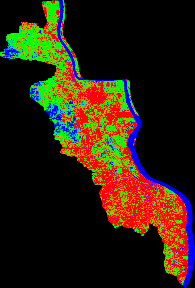
Do you want to visualize vegetation health, land cover changes, or monitor your project area from satellite data?
I will provide high-quality NDVI and Land Use Land Cover (LULC) analysis using Google Earth Engine (GEE) and Sentinel-2 or Landsat data for any region on Earth.
Youll receive beautiful maps, clear visuals, and scientific insights perfect for environmental studies, research, or urban planning.
What I Offer:
NDVI (Normalized Difference Vegetation Index) calculation
Land Use and Land Cover (LULC) classification
Cloud-free satellite image composite
Customized map styling & color palette
Optional detailed analytical report (PDF)
Data source: Google Earth Engine, Sentinel-2, Landsat-8
️ Why choose me:
Please inform the freelancer of any preferences or concerns regarding the use of AI tools in the completion and/or delivery of your order.
Urban Planner, GIS Expert
Languages