Browse categories
Explore
Fiverr Pro
English
$
USD

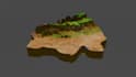


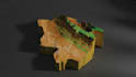
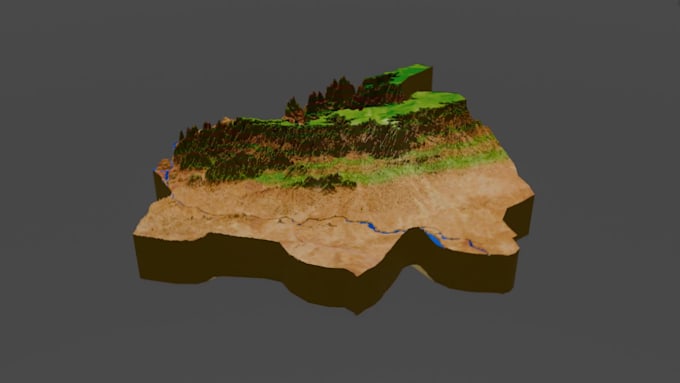
I am a GIS and Remote Sensing analyst with more than 4 years of experience in the GIS field with different RS and GIS companies. Being an expert at Remote sensing and GIS I would provide you with the best solution for Remote sensing and GIS problems.
Main Software for Spatial Data Analysis:
Main Processes for Spatial Data Analysis:
Contact me before placing an order.
Customer Satisfaction is prioritized. Thank You!
Earth Observation Scientist
Languages
Will you provide source files ?
Yes,I will provide source files for every map .
What types of projects can you assist with?
I can assist with a variety of projects related to spatial data, including environmental monitoring, urban planning, natural resource management, land use mapping, disaster response, and more.
Do you offer customized solutions for specific projects?
Absolutely! I understand that each project is unique, and I am committed to providing tailored solutions to meet your specific requirements and objectives.
How do you ensure the accuracy and reliability of your analysis?
employ rigorous quality control measures and adhere to best practices in spatial data analysis to ensure the accuracy and reliability of my work. Additionally, I continuously stay updated with the latest advancements in GIS and remote sensing technology.
How do I get started with your services?
Simply reach out to me with details about your project requirements, and I will guide you through the process of getting started. Feel free to message me anytime to discuss your project goals and how I can assist you.