Browse categories
Explore
Fiverr Pro
English
$
USD


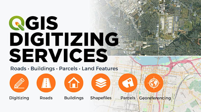
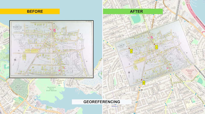
I do GIS digitization, georeferencing, and spatial data conversion in QGIS. Send me your scanned maps, aerial imagery, satellite images, or PDF drawings and I'll turn them into clean, accurate vector data ready to use.
What I do:
Delivery formats:
Shapefile
Geopackage
Geodatabase
GeoJSON
KML/KMZ
DXF
CSV/XLSX, or
High-res PNG/PDF previews - your choice.
Message me before ordering so we can go over what you need. I'll put together a custom offer based on your project.
GIS, QGIS, Spatial Analysis, Remote Sensing, Translation
Languages
What file formats do you support?
I can deliver your digitized maps or georeferenced data in a variety of formats, including shapefiles, GeoTIFFs, KML or more.
What types of features can you label?
I can label roads, buildings, rivers, trees, parking lots, farmland, and any specific features you request.
Can you provide the data in a specific coordinate system?
Absolutely! Just let me know your preferred CRS (e.g., WGS84, UTM).
What if I’m not satisfied with the result?
I offer revisions in all packages to ensure you're completely satisfied.
What maps can you digitize?
PDFs, scanned maps, satellite imagery, topo maps.
Can you handle bulk digitization or long-term projects?
Yes! I’m open to long-term collaboration and bulk digitization. Message me for a custom offer tailored to your project size and timeline.