Browse categories
English
$
USD
Connect to your AI


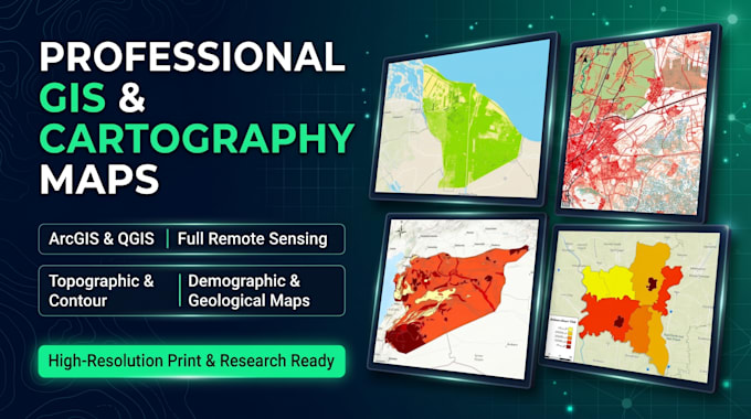
Welcome! Are you looking for a GIS & Remote Sensing expert to create accurate, publication-ready maps for your academic research, engineering project, or business?
-Using ArcGIS and QGIS, I design and deliver ALL types of GIS and Cartography maps with full scientific accuracy:
- Topographic & Digitizing Maps: Roads, buildings, utilities, railways, drainage networks, and full land features.
- Contour & Elevation Maps (DEM): Accurate contour lines, digital elevation models, slope, aspect, and hillshade maps.
- Demographic & Choropleth Maps: Population density, statistical distributions, and socio-economic mapping.
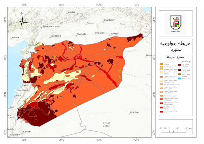
- Geological & Geomorphological Maps: Rock formations, lithology, fault lines, soil types, and mineral distributions.
- Full Remote Sensing & Satellite Image Analysis: Supervised/Unsupervised classification, LULC (Land Use/Land Cover), spectral indices (NDVI, NDWI, NDBI, LST), watershed analysis, and change detection.
- Climatic & Environmental Maps: Humidity, temperature, rainfall interpolation (IDW/Kriging), and natural hazard mapping.
To get started, the seller needs:
Please send me the study area name (or coordinates/shapefile), the type of map or Remote Sensing analys
Please inform the freelancer of any preferences or concerns regarding the use of AI tools in the completion and/or delivery of your order.
Languages