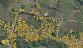
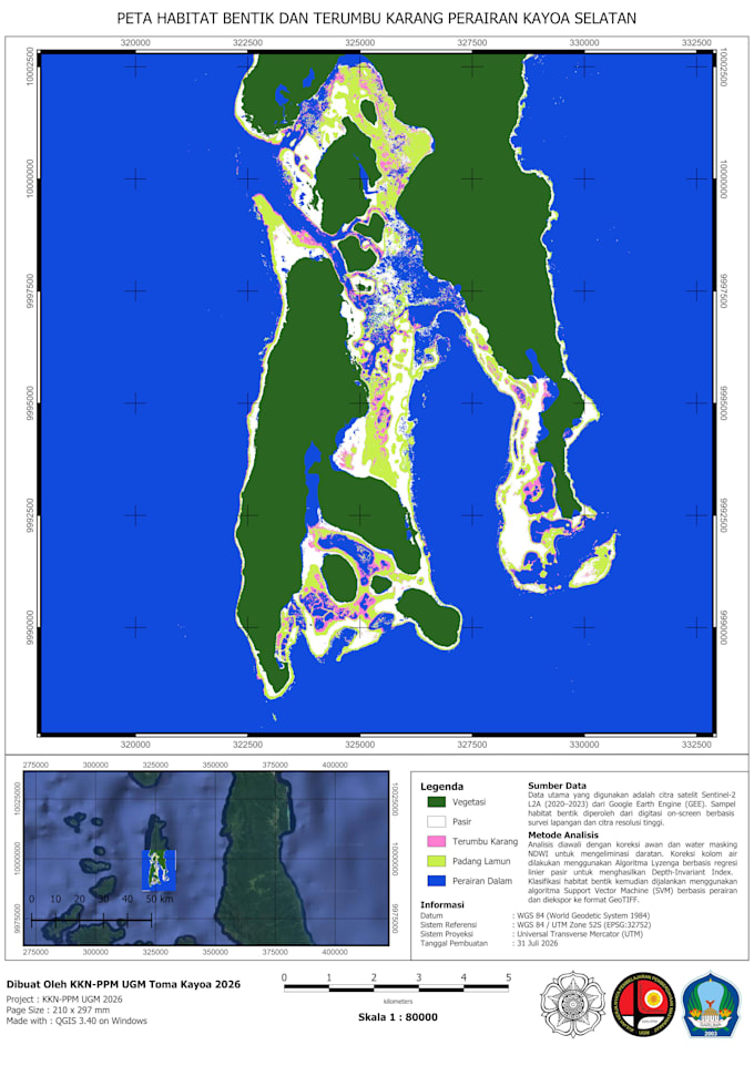
I will digitizing using arcgis or qgis

R
reyhanazds
R
reyhanazds
Reyhan Azmy D

About this gig

Hi, I'm Reyhan!

If you are looking for precise GIS mapping, digitizing, and spatial data conversion services, you've come to the right place. I provide end-to-end vectorization and GIS solutions tailored to your specific project needs.

Services I Offer:

  • Vector Digitization: Precise extraction of Points, Lines, and Polygons from satellite imagery, topographic maps, scanned documents, aerial photos, and site plans.
  • Geodatabase & File Creation: Building structured Shapefiles, Feature Classes, and spatial Geodatabases.
  • Lineament Analysis: Extracting structural lineaments directly from satellite data.
  • Georeferencing: Aligning raster maps, scanned images, and legacy plans to correct spatial coordinates.
  • Format & File Conversion: Seamless conversion between Shapefiles, KML/KMZ, AutoCAD (.dwg/.dxf), and other spatial formats.

Please reach out to discuss your project details before placing an order. I am happy to create custom offers and tailored pricing packages based on your specific workload and requirements.

Best regards,

Reyhan

Get to know Reyhan Azmy D

Reyhan Azmy D

Geodetic Engineering Student

  • FromIndonesia
  • Member sinceMar 2024
  • Languages

    Indonesian, English
I am a Geodetic Engineering student at Gadjah Mada University with a high motivation to learn about surveying and mapping. I have gained practical experience in GNSS measurements, data processing using CHC Geomatics Office, and creating maps in Civil 3D. I am a dedicated learner who enjoys exploring new fields to broaden my professional insights and technical skills.

My Portfolio