I will process drone photogrammetry, orthomosaic, and 3d mapping

R
rodri1988
R
rodri1988
RODRIGO

About this gig

Looking for highly accurate, engineering-grade drone data processing? You are in the right place.

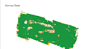
I am a specialized Drone Photogrammetry Analyst and GIS Specialist. I transform your raw aerial datasets (RAW/JPG) into high-resolution, georeferenced maps and three-dimensional models tailored for engineering, architecture, topography, and smart agriculture.

What I deliver in my packages:

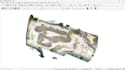
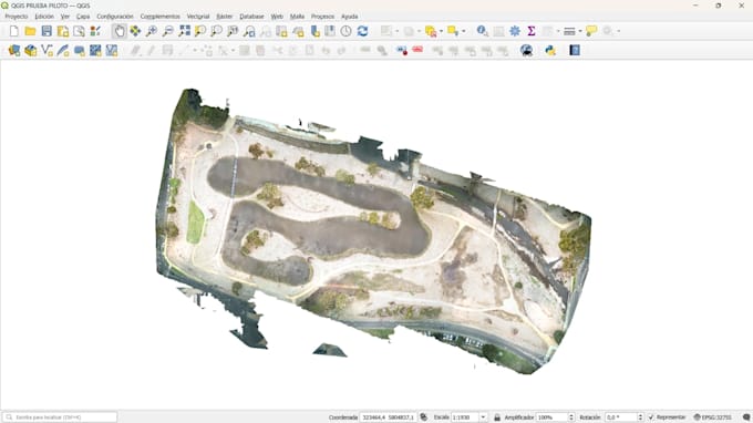
  • High-Resolution Orthomosaic: Fully stitched and georeferenced .tif (GeoTIFF) maps compatible with CAD/GIS software.
  • Dense Point Clouds: Millions of calculated spatial coordinates in .las or .laz formats.
  • Digital Elevation Models: Complete DSM and DTM layers for accurate surface and terrain elevation analytics.
  • 3D Textured Meshes: High-fidelity tridimensional models with detailed texture mapping (.obj format).
  • Contour Lines: Vectorized topographic files (.shp or .dxf formats).
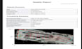
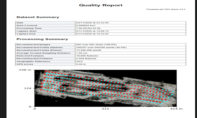
  • Quality Report: A comprehensive PDF summary detailing GSD, overlap percentages, and GPS/RMS error checks for full metric validation.

Why choose my services?

  • Aviation & Technical Grounding: Backed by an official aviation safety background (ARN CASA), meaning I deeply understand flight paths and sensor metadata.
Delivery style preference

Please inform the freelancer of any preferences or concerns regarding the use of AI tools in the completion and/or delivery of your order.

Get to know RODRIGO

RODRIGO

Drone Photogrammetry Analyst And GIS Specialist

  • FromAustralia
  • Member sinceNov 2026
  • Avg. response time1 hour
  • Languages

    Spanish, English
I transform raw drone imagery (RAW/JPG) into high-precision, engineering-grade assets for construction, topography, agriculture, and GIS analysis. Utilizing professional tools like WebODM and QGIS with hardware acceleration, I deliver accurate Orthomosaics (.tif), Dense Point Clouds (.las/.laz), Digital Elevation Models (DSM/DTM), and 3D textured meshes (.obj). All communication is strictly handled via written chat for maximum contract clarity and record-keeping. I hold an official aviation safety background (ARN CASA), ensuring a deep understanding of GSD, overlaps, and spatial metadata.

My Portfolio

Related tags