Browse categories
Explore
Fiverr Pro
English
$
USD


Got scattered point data and need a continuous surface map but don't know which interpolation method actually fits your data?
Most freelancers run one default method and hand it over. I test your data against multiple algorithms and tell you which one is statistically justified the kind of rigor that holds up if your work goes in front of a thesis committee, a donor report, or a peer reviewer.
What I deliver:
Applications: rainfall/precipitation surfaces, groundwater depth, soil property mapping (pH, salinity, nutrients), temperature gradients, pollution concentration, any point-sampled environmental variable.
Software: QGIS, SAGA GIS, ArcGIS-equivalent workflows, Python (scipy/pykrige) for validation.
Why work with me: I hold a BS in Space Science with a thesis background in geodetic surface modeling interpolation isn't a menu option I click, it's a method I understand the math behind. I'll tell you honestly
GIS and Remote sensing Specialist , ArcGIS , QGIS , Google Earth Engine
Languages
How many data points do I need for this to work?
A minimum of 15-20 well-distributed points for a reliable surface; below that, I'll flag it and recommend which method degrades least gracefully with sparse data.
Which method is actually "best"?
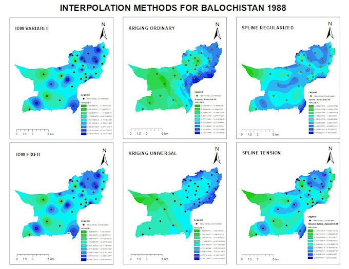
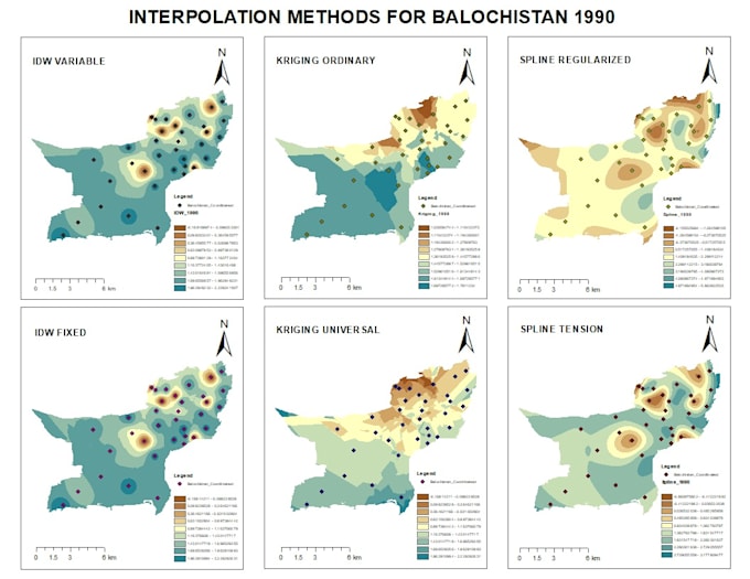
It depends on your data's spatial autocorrelation — Kriging tends to outperform on clustered environmental data, IDW is more robust with sparse/irregular points, and Spline suits smoothly varying phenomena. I test rather than assume.