Browse categories
English
$
USD
Connect to your AI



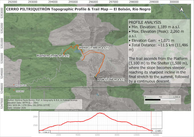
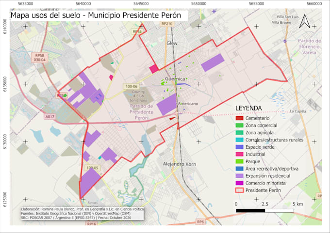
I create custom maps, territorial studies and spatial data analysis using QGIS.
With a background in Geography and Political Science, I work with geographic, demographic, environmental, and socio-political datasets to produce clear, accurate cartography for research, education, urban planning, and institutional projects.
Services offered:
Output formats: High-resolution PNG and PDF maps, as well as editable QGIS project files (.qgz) and vector/raster layers when required.
Please send a message before ordering so we can review your data and project details first.
GIS and QGIS Specialist, Geography and Spatial Data Analysis
Languages
What information do you need from me to get started?
Please share the geographic area of interest, any raw data you already have (Excel/CSV tables, coordinates, PDFs, or shapefiles), and a brief description of the map's purpose. If you don't have data, I can source open-access datasets for your region.
In what formats will I receive my final map?
You will receive high-resolution print-ready PNG and PDF files. Editable source files (.qgz, Shapefiles, GeoJSON) are included in the Premium package or available as a Gig Extra.