Browse categories
Explore
Fiverr Pro
English
$
USD


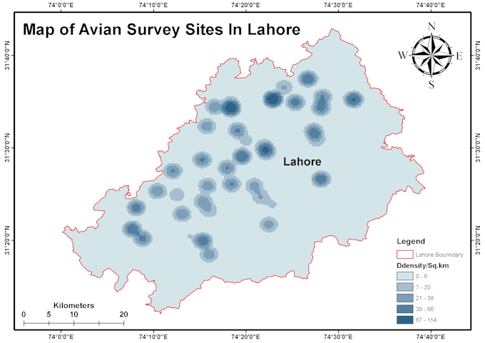
Hi there! I'm a GIS Analyst with professional experience in ArcGIS, QGIS, and Remote Sensing. I offer high-quality and accurate mapping and spatial analysis services for research, academic, and professional projects. Whether you need a land use map, flood hazard map, elevation analysis, or spatial data visualization, I can create clear, detailed, and visually appealing results tailored to your needs.
My services include ArcGIS and QGIS map creation, land use and land cover (LULC) mapping, flood and hazard zone mapping, DEM and slope analysis, spatial data processing, and map layout design with professional legends, labels, and scales. I also provide geodatabase management, remote sensing image classification, and data conversion (SHP, KML).
I'm passionate about helping students, researchers, and professionals turn their spatial data into meaningful and attractive maps.
I am a GIS and Remote Sensing expert with experience in ArcGIS, QGIS
Languages
What do you need from me to start the project?
I’ll need your area of interest (location or shapefile), project details, and any specific requirements (e.g., type of map, data layers, labels, etc.). If you have satellite data or coordinates, you can share those too.
Which software do you use for mapping?
I mainly use ArcGIS Pro, QGIS, and Google Earth Engine for mapping, analysis, and data visualization.
What file formats will I receive?
You’ll get high-resolution map images (JPEG, PNG, or PDF) and, if required, GIS data files such as SHP, KML.
Can you handle large or research-based mapping projects?
Yes, absolutely! I’ve worked on academic, environmental, and disaster-related GIS projects. I can provide maps, spatial analysis, and data visualizations suitable for theses, reports, or publications.
What if I’m not satisfied with the result?
Your satisfaction is my top priority. I offer unlimited revisions in all packages to make sure the final map fully meets your expectations.
Can you make maps for any country or region?
Yes! 🌍 I can create maps for any location worldwide — just share the area name, boundary, or coordinates.
Do you offer urgent delivery?
Yes, I can deliver maps within 24 hours (depending on the project size). Please contact me before placing an urgent order to confirm availability.