Browse categories
English
$
USD
Connect to your AI



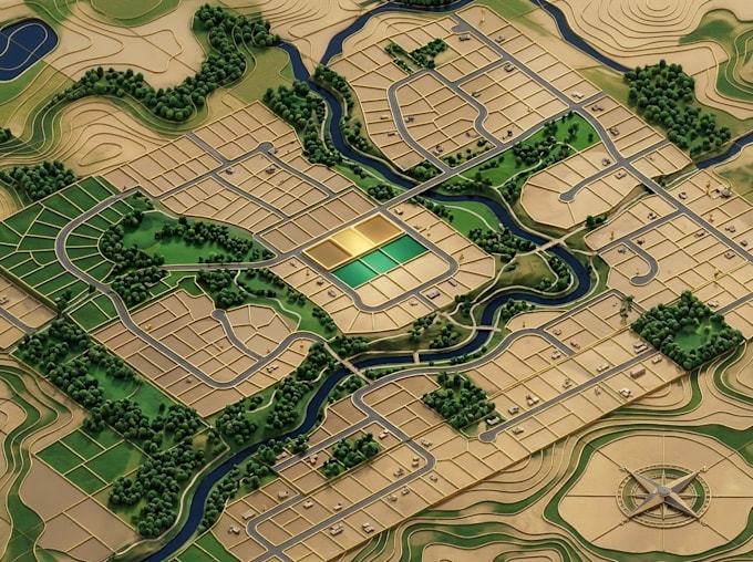
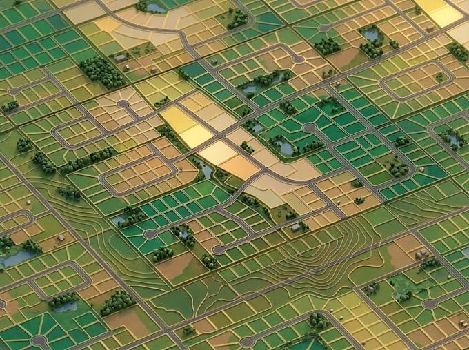
Need a clear and organized map showing land parcels, cadastral information, boundaries and plot divisions? I create GIS-based parcel and cadastral maps for presenting land boundaries, plot divisions and parcel information in a clear spatial format. I can help create GIS-based maps that present your land information in an accurate and easy-to-understand format.
MY SERVICE INCLUDE
Whether you need a new parcel map, cadastral layout, boundary representation or digitized land data, I can help organize your information into a well-structured map.
I can work with existing GIS datasets, coordinates, scanned plans and supported spatial file formats. You can also request map editing, data conversion and export in suitable formats.
Send your project details and available files so we can establish the right scope for your mapping work.
GIS Specialist, customs map designer, cartographer and spatial data solutions
Languages
What information do you need to create a parcel map?
I need your survey plans, parcel data, coordinates, shapefiles or other available land information.
Can you digitize cadastral maps from scanned plans?
Yes, I can digitize supplied cadastral plans and organize the resulting spatial data in GIS.
Which software do you use?
I mainly use QGIS, with ArcGIS Pro and Google Earth Pro where necessary.
Can you edit existing parcel maps?
Yes, I can update parcel boundaries, plot labels, map details and existing GIS layers.
Can you provide editable GIS files?
Yes, editable GIS project files and supported spatial data formats are available depending on your package.
Can you map multiple land parcels?
Yes, I can map multiple parcels based on your supplied data and project requirements.