Browse categories
Explore
Fiverr Pro
English
$
USD
GIS and Remote Sensing Expert
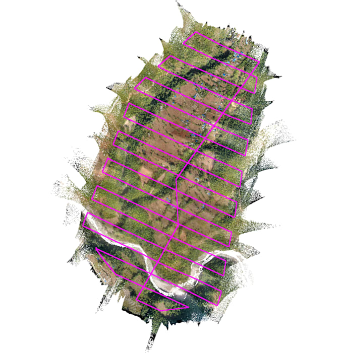
Got drone images but need professional results? Ill process your UAV/ LiDAR data into accurate orthomosaics, Digital Elevation Models (DEMs), and 3D surface models using Pix4D, LiDAR360, DJI Terra, Agisoft Metashape, or ArcGIS Pro.
Services include:
You'll receive georeferenced outputs ready for engineering, mapping, or research use.


Technology:
Other
Expertise:
Other
Are the outputs georeferenced?
Yes, all maps and datasets are georeferenced to your CRS.
What file formats are delivered?
GeoTIFF, LAS/LAZ, OBJ, Shapefile, PDF, or other formats as requested.
Can you handle large datasets?
Yes, I can process hundreds of drone images and produce detailed maps/models.