Browse categories
Explore
Fiverr Pro
English
$
USD

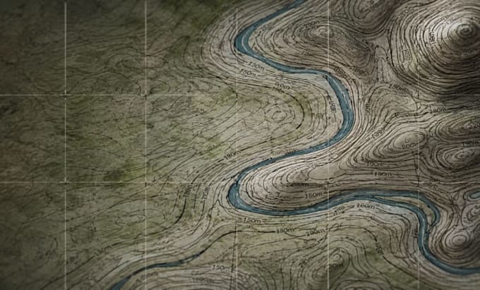
Struggling with inaccurate site data or poorly formatted drawings? A single misaligned contour line can ruin an entire engineering, architectural, or site planning project.
Get flawless, precision-engineered topographic contour lines tailored to your exact specifications. Whether you have raw XYZ coordinates, GPS survey data, Google Earth KML files, or DEM imagery, I will convert them into pristine, multi-layered vector drawings.
### What You Get With This Service:
* High-accuracy 2D/3D contour generation (intervals adapted to your needs)
* Complete Topographic Map design with precise elevations and coordinates
* Smooth vector styling ready for Civil 3D, AutoCAD (DWG/DXF), and ArcGIS (SHP)
* Seamless integration of site boundary lines, roads, and water features
### Why Top Professionals Choose My GIS & CAD Solutions:
* 100% Data Confidentiality & Precision Engineering
* Native files delivered across ALL primary industry formats
* Rapid response time (under 1 hour) to keep your projects on schedule
Lets bypass the technical roadblocks. Order now, provide your raw data, and receive your engineering-ready map within 24 hours!
Please inform the freelancer of any preferences or concerns regarding the use of AI tools in the completion and/or delivery of your order.
GIS Mapping and Contour Map Specialist
Languages
What raw data formats do you accept?
I accept nearly any geographic data input, including CSV/TXT point coordinates (XYZ), Google Earth KMZ/KML, AutoCAD drawings, DEM files, satellite images, and drone point clouds
What file formats will I receive in the final delivery?
Your final package can include fully layered AutoCAD formats (DWG, DXF), GIS formats (SHP), and print-ready vector formats (PDF, AI, SVG) depending on your needs.
Can you handle steep, complex, or heavily forested terrains?
Yes. Using advanced terrain filtering and elevation interpolation tools, I can process dense, irregular survey data to output uniform, perfectly labeled contour intervals.
What contour intervals do you default to?
I adapt the intervals entirely to your scope (e.g., 0.5m, 1m, or custom feet intervals) to guarantee optimal layout readability for your site scale.
Do you offer rapid 12-hour turnaround for emergency deadlines?
Absolutely, Please message me directly with your raw files before placing an order to confirm my current live schedule queue.