Browse categories
Explore
Fiverr Pro
English
$
USD

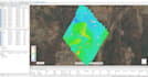
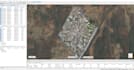
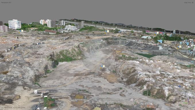
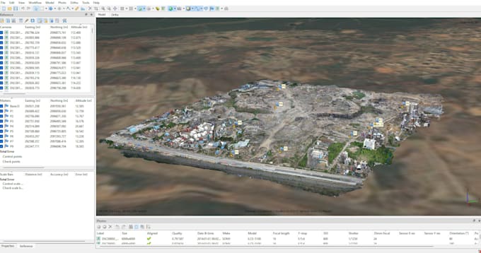
Struggling to transform raw aerial imagery into high-accuracy 3D reconstructions and survey grade site data? Let me handle the heavy lifting for you.
Simply send over your raw drone photos, PPK/RTK telemetry, or Ground Control Points (GCPs). I will execute a precise photogrammetry workflow using tools like Agisoft Metashape or Pix4D to generate clean, high-resolution spatial deliverables.
Deliverables & Capabilities:
Standard Deliverables Include:
Have custom coordinate systems, unique file export needs, or complex site requirements? Please send me a message before placing an order so we can tailor the processing workflow directly to your project goals.
Please inform the freelancer of any preferences or concerns regarding the use of AI tools in the completion and/or delivery of your order.
I am a Civil Engineer specializing in UAV photogrammetry and spatial mapping
Languages
What image formats and telemetry data do I need to provide?
I accept standard JPG, TIFF, or DNG drone images. For accurate geotagging and high precision, please include the flight log, EXIF metadata, camera calibration parameters, or GCP/PPK text files if available.
What file formats will I receive for my 3D models and maps?
I provide deliverables in industry-standard formats including .TIFF / .GeoTIFF for orthomosaics/DEMs, .OBJ, .PLY, or .LAS/.LAZ for 3D meshes and point clouds, and .DXF/.DWG or .SHP for CAD.
Do I need Ground Control Points (GCPs) or PPK/RTK data for processing?
GCPs or PPK data are recommended if you require survey-grade absolute positional accuracy (e.g., for construction cut/fill or legal surveys). However, if you only need relative measurements or visual 3D models, standard geotagged drone photos will work perfectly.
How do I send large datasets with hundreds of high-resolution drone photos?
You can share your photos via Google Drive, Dropbox, WeTransfer, or OneDrive link after placing the order. Please ensure all files are uploaded to a single folder.