Browse categories
Explore
Fiverr Pro
English
$
USD


I provide professional GIS mapping, Remote Sensing, and geospatial analysis services for environmental, hydrological, and natural resource management projects. My expertise includes watershed analysis, LULC mapping, spatial analysis, DEM analysis, thematic mapping, and cartographic design. I deliver accurate, data-driven geospatial solutions to support planning, research, and sustainable development projects.
GSI Specialist
Languages
What information do you need to start my GIS project?
Please provide the study area location, project requirements, preferred output format, and any available data such as shapefiles, GPS points, satellite images, or other GIS datasets. If you do not have data, I can guide you with suitable options.
What type of GIS services do you offer?
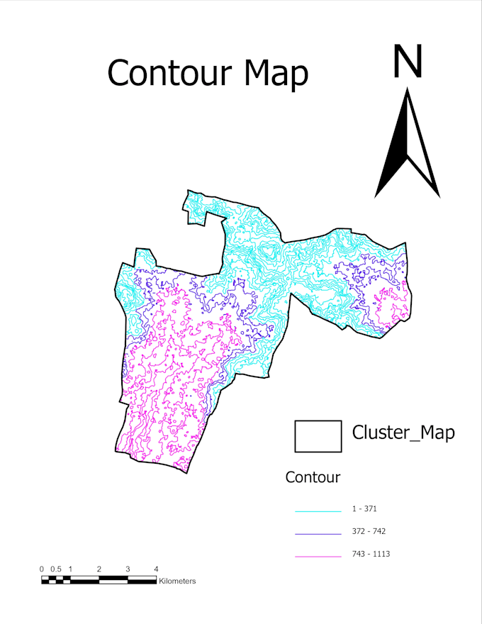
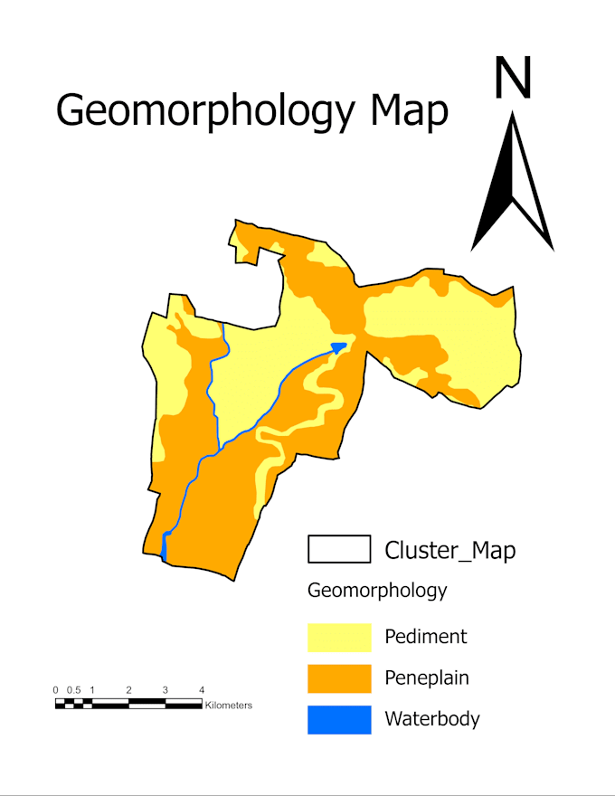
I offer GIS mapping, spatial analysis, remote sensing, LULC mapping, watershed analysis, DEM analysis, drainage analysis, thematic mapping, and professional cartographic map preparation.
Can you create maps for reports, research, and presentations?
Yes, I create high-quality GIS maps and visualizations suitable for technical reports, research papers, project documentation, presentations, and planning purposes.
Can you perform watershed and hydrological analysis?
Yes, I provide watershed delineation, drainage network analysis, DEM-based hydrological analysis, and mapping solutions for watershed development and natural resource management projects.
Do you provide Land Use/Land Cover (LULC) mapping?
Yes, I provide LULC classification and mapping using GIS and remote sensing techniques to analyze land patterns and environmental changes.
What GIS software and techniques do you use?
I use professional GIS and remote sensing techniques for spatial analysis, mapping, data processing, and visualization. I also provide 3D modeling and visualization services using Autodesk AutoCAD 3D and Autodesk Maya.
Can you work with my existing GIS data?
Yes, I can process, analyze, edit, and enhance existing GIS datasets such as shapefiles, raster data, DEMs, and satellite imagery.
Do you provide customized GIS solutions?
Yes, I provide customized solutions based on your project needs, including environmental mapping, watershed planning, spatial analysis, and geospatial visualization.
What will I receive after project completion?
You will receive the final GIS outputs according to your requirements, such as high-resolution maps, GIS files, analysis results, and report-ready visualizations.
Why should I choose your GIS service?
I provide accurate, reliable, and professional geospatial solutions with practical experience in GIS mapping, watershed development, remote sensing, and environmental analysis.