Browse categories
Explore
Fiverr Pro
English
$
USD
Are you looking for an expert in AI-based satellite image processing, change detection, and climate-related object detection?
Youre in the right place!
I am a Remote Sensing & GIS specialist with hands-on expertise in:
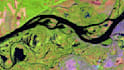
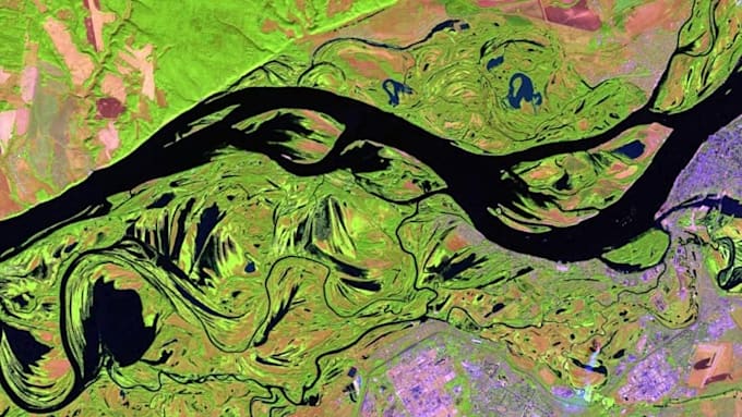
Change Detection identify land cover/use changes, urban growth, deforestation, waterbody shifts, and climate impacts
AI & Deep Learning advanced object detection, classification, and segmentation in satellite/aerial imagery
Climate & Environmental Applications detect crop stress, drought, floods, wildfires, urban heat islands, and more
Target/Object Detection roads, buildings, vehicles, orchards, infrastructure, or any customized features from imagery
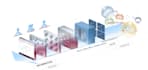
Multi-Sensor Integration Sentinel, Landsat, PlanetScope, MODIS, Google Earth Engine (GEE) & UAV/drone data
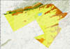
GIS & Spatial Analysis geoprocessing, raster/vector analysis, suitability modeling, and map-ready outputs
Why Choose Me?
Proven expertise in AI, Remote Sensing & GIS
End-to-end workflow: preprocessing AI modeling analysis visualization
Support for all imagery formats (GeoTIFF, NetCDF, Shapefiles, etc.)
Customized outputs: GeoTIFFs, shapefiles, interactive maps, reports, dashboards
Professional, fast, and reliable