Browse categories
Explore
Fiverr Pro
English
$
USD
I don't just deliver results, I deliver an exceptional experience
WELCOME TO MY GIG!
Please contact me before placing your order to discuss your project requirements.
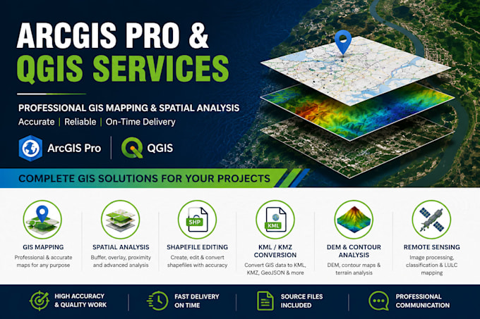
Looking for professional ArcGIS Pro and QGIS services? I provide accurate GIS Mapping, Spatial Analysis, Georeferencing, Map Digitization, Shapefile Editing, KML/KMZ & GeoJSON Conversion, GPS Data Processing, DEM & Contour Analysis, Land Use/Land Cover (LULC) Mapping, and Cartographic Map Design for engineering, environmental, research, and planning projects.
Services Include:
Tools I Use:
Why Choose Me?
Let's turn your spatial data into accurate, professional GIS maps and analysis. Feel free to contact me before placing your order so we can discuss your project requirements and ensure the best possible outcome.


Domain:
Business
Industry:
Engineering
•
Environmental
Language:
English
•
Urdu
Do you work with both ArcGIS Pro and QGIS?
Yes. I provide GIS services using both ArcGIS Pro and QGIS. If you have a preferred software, please mention it before placing your order.
What files do you need to start the project?
Please provide your project details along with any available GIS data such as Shapefiles, KML/KMZ, GeoJSON, Excel/CSV files, GPS coordinates, raster images, PDFs, CAD files, or other relevant data.
What file formats will I receive?
Depending on your requirements, I can deliver Shapefile (.shp), Geodatabase (.gdb), KML/KMZ, GeoJSON, PDF, PNG, JPEG, Excel, or other requested formats.
Can you create custom GIS maps for my project?
Yes. I create customized GIS maps for engineering, environmental studies, urban planning, research, agriculture, and many other applications based on your requirements.
Do you provide revisions?
Yes. Revisions are included according to the package you select. Revisions cover changes within the original project scope.
How long will my project take?
Delivery time depends on the project's complexity. Simple GIS tasks are usually completed quickly, while larger spatial analysis or mapping projects may require additional time. Please contact me before ordering for an accurate estimate.
Should I contact you before placing an order?
Yes. Please contact me before placing your order so I can review your requirements, confirm the project scope, and recommend the most suitable package.