Browse categories
English
$
USD
Connect to your AI
Hi there!
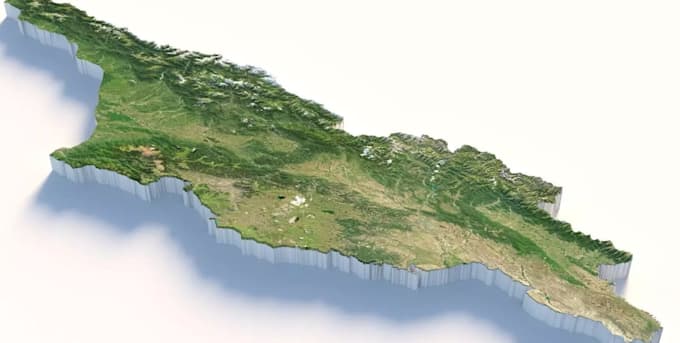
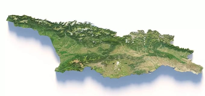
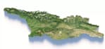
Are you searching for a well detailed, realistic 3D topographic relief map of any country, state, island, or custom terrain?
I'm dedicate in transforming real world Digital Elevation Models (DEM) and high resolution satellite imagery into clean, detailed 3D maps. Whether you need a visual centerpiece for a presentation, educational material, real estate project, wall art, or a 3D printable model, I will deliver a custom render tailored to your exact specifications.
Service I Provide:
Before placing order kindly contact me first to provide the best package for you.
Thanks.
Please inform the freelancer of any preferences or concerns regarding the use of AI tools in the completion and/or delivery of your order.
A studio of experts in Architectural Design, 3D visualization and Permits
Languages