Browse categories
Explore
Fiverr Pro
English
$
USD





Hi and welcome to my Gig!
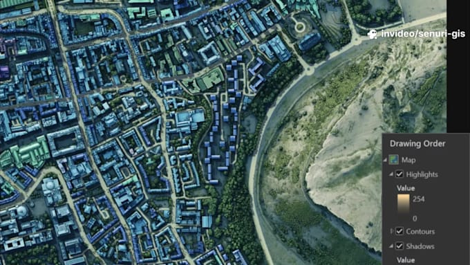
If you are looking for a professional and reliable GIS expert for mapping and spatial analysis, youre in the right place. I have hands-on experience with QGIS, ArcGIS, ArcGIS Pro, Google Earth, Google Earth Engine, and Google Maps, and I can handle any GIS-related project efficiently.
My Services Include:
Why Choose Me?
Please contact me before placing an order. Lets work together to deliver the professional map and spatial insights you deserve!
Best regards,
SKJ
Your Go To GIS Analyst for Accurate, Insightful Mapping
Languages
Do you provide high-resolution maps for reports or publications?
Absolutely. I provide high-quality, ready-to-use maps with legends, scale bars, north arrows, and professional layouts suitable for presentations, reports, or publications.
What types of GIS projects can you handle?
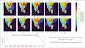
I can work on a wide range of GIS projects including flood risk mapping, urban heat analysis, land use/land cover mapping, environmental monitoring, site suitability analysis, canopy height and biomass mapping, and thematic map creation.
Which software do you use for GIS work?
I use QGIS, ArcGIS, Google Earth, Google Earth Engine, and Python for spatial analysis, remote sensing, and map visualization.
Can you process and analyze my data?
Yes! I can process raw spatial data, georeference it, perform spatial and statistical analysis, and create professional maps or visual outputs tailored to your needs.
Do I need to provide GIS data or can you obtain it?
I can work with your data or obtain publicly available GIS and remote sensing datasets, depending on the project requirements.
How long does a typical project take?
Project timelines vary depending on complexity. Small mapping tasks may take 1–3 days, while more detailed spatial analysis or multi-layer projects may take 5–10 days.
Can you help me interpret the results or maps?
Yes. I provide clear explanations and insights along with all maps and analysis outputs to help you understand the results for decision-making.