Browse categories
Explore
Fiverr Pro
English
$
USD

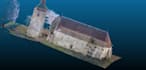
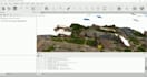
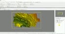
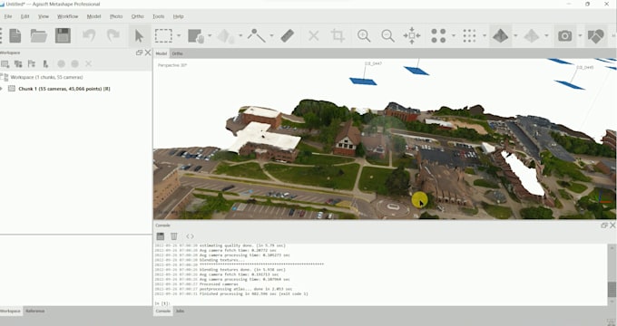
Are you looking to transform your UAV and drone images into 3D visualizations? Look no further! I specialize in processing UAV and drone images using Metashape, Pix4D, and ArcGIS Pro to generate a precise point cloud, 3D meshes, Digital Surface Models (DSMs), Digital Terrain Models (DTMs), and accurate contour maps. With my expertise and attention to detail, you can expect exceptional results that showcase your data in a visually appealing and informative way.
Unlock the potential of your UAV and drone images with my data visualization expertise. Together, we can transform raw data into visually appealing representations that convey valuable insights. Don't miss out on this opportunity!
Contact me now to discuss your project, and let's bring your data to life with compelling 3D visualizations, precise DTMs, DSMs, layout maps, and informative contour maps.
RS , GIS , Web Development
Languages