Browse categories
English
$
USD
Connect to your AI



Backed by 5+ years of professional GIS experience in cadastral mapping, sewerage and drainage networks, infrastructure development, and large-scale engineering projects, I deliver accurate, customized, and visually appealing GIS mapping solutions.
GIS And RS Expert
Languages
1. What types of GIS maps can you create?
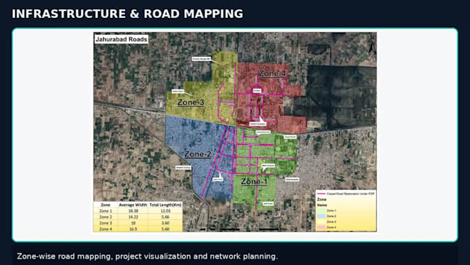
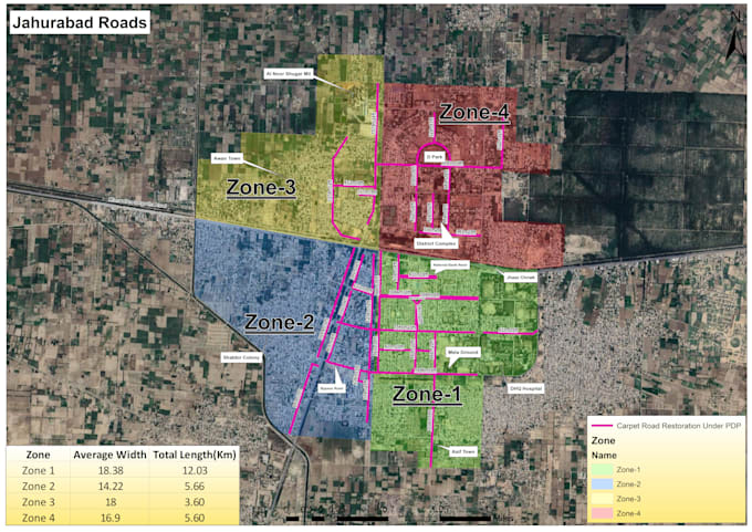
I can create custom GIS maps, including cadastral, land use/land cover, infrastructure, sewerage and drainage networks, road networks, administrative boundaries, thematic maps, NDVI, and other specialized maps.
. What file formats will I receive?
I can provide PDF, PNG, JPG, Shapefile (SHP), GeoPackage, and editable ArcGIS project files, depending on your package.