Browse categories
English
$
USD
Connect to your AI

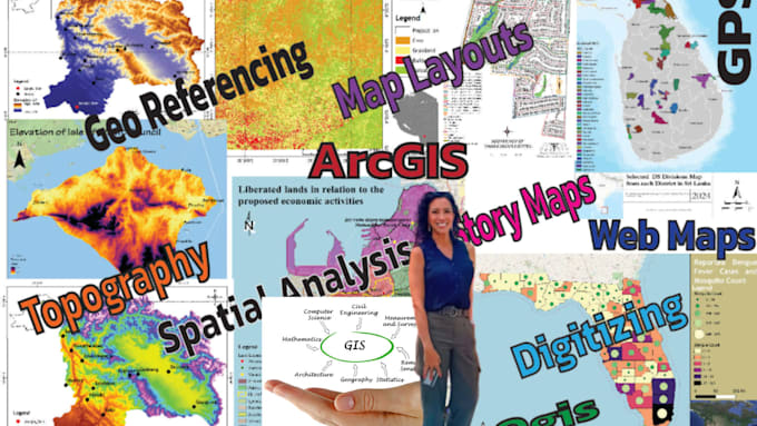
I provide professional GIS spatial analysis and remote sensing services to help you understand geographic patterns, monitor environmental changes, and make data-driven decisions. I work with spatial datasets and satellite imagery to deliver accurate analysis, clear maps, and useful insights for research, planning, and environmental projects.
What I can help with:
Tools I use: QGIS, ArcGIS Pro, Google Earth, Python, and R.
What youll get:
Please message me before ordering so we can discuss your study area, available data, and project objectives.
GIS and Full Stack Developer
Languages
