Browse categories
English
$
USD
Connect to your AI

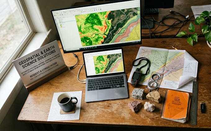
Need a map that actually makes sense of your site, project or research? Get clear, accurate GIS maps and satellite analysis, delivered fast.
I turn raw location data into professional geology GIS maps, remote sensing results and spatial analysis for students, engineers, miners, developers, consultants and researchers.
What you get:
Why clients choose this gig:
Say goodbye to messy data, unreadable maps and missed deadlines.
Ready to see your project on the map? Click Contact Me or Order Now and let's get started today!
Geologist GIS Mapping Geotechnical Reports
Languages
What data do you need from me?
Your area or coordinates, any shapefiles, images or datasets you already have, and the type of map you need. If you have no data, I can source open data (satellite imagery, DEMs, public geological layers).
Which software and formats do you use?
ArcGIS and QGIS. Maps come as PDF and PNG, and data as shapefiles or GeoJSON on request.
Can you do satellite image analysis?
Yes. That includes NDVI, land cover mapping and change detection from satellite imagery.
Can you work with my existing files?
Yes. I can clean, georeference, digitize and reproject your files, including scanned maps.
Do you take urgent orders?
Yes. Message me your deadline first, and I’ll confirm or offer the 24-hour fast-delivery extra.
