Browse categories
English
$
USD
Connect to your AI

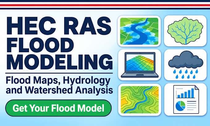
Need to know where the water goes? Get a flood model that shows depth, extent and flow clearly, with maps and a report you can use straight away.
I build HEC-RAS flood models and GIS watershed hydrology analyses for researchers, students, consultants, planners and engineers.
What you get:
HEC-RAS 1D and 2D flood modeling and inundation mapping
Watershed delineation, drainage networks and DEM processing
Rainfall-runoff and hydrology analysis
Flood depth, velocity and extent maps
Scenario runs for different rainfall and return periods
Clean GIS maps, figures and a short technical report
Why clients choose this gig:
Delivery from 3 days, with a fast option
100% original work built on your data
Free revisions until you are satisfied
Replies within 1 hour
No more guessing flood extents or fighting model errors.
Ready to map your flood risk? Click Contact Me or Order Now and let's get started today!
Geologist GIS Mapping Geotechnical Reports
Languages
What data do you need to start?
Your study area, terrain or DEM, river geometry or cross sections, flow or rainfall data and land cover. I can help source open terrain and rainfall data if you have gaps.
Do you do 1D or 2D modeling?
Both. I’ll recommend the right one after reviewing your site and goal.
What software do you use?
HEC-RAS, with GIS (QGIS or ArcGIS) for terrain processing and maps.
What will I receive?
Flood extent, depth and velocity maps, figures and a short technical report. Premium also includes the model files.
Can you do FEMA, no-rise or permit submissions?
No. My work supports research, planning and feasibility. Regulatory and permit studies need sign-off by a licensed engineer.
