Browse categories
English
$
USD
Connect to your AI

Level 2
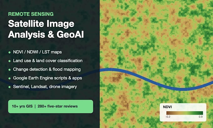
Turn satellite and drone imagery into maps, numbers and decisions. I combine remote sensing with machine learning (GeoAI) to deliver results you can use, with code you can rerun.
Services
Data: Sentinel-1/2, Landsat, MODIS, PlanetScope, drone imagery, DEM/SRTM
Tools: Google Earth Engine, Python (Rasterio, scikit-learn, PyTorch), ArcGIS Pro, QGIS, SNAP
You receive high-quality maps, area statistics (CSV/Excel), GeoTIFF/shapefile outputs and the script used.
Message me with your area of interest, dates and the question you're trying to answer, and I'll suggest the right data and method.
GIS Analyst and Web GIS Developer, ArcGIS Pro, QGIS, Leaflet, GeoAI
Level 2
Languages
Do I need to provide the satellite imagery?
No. I use free Sentinel, Landsat and MODIS data by default. For very high resolution I can work with PlanetScope, Maxar or your drone imagery.
What do I need to send you?
Your area of interest (shapefile, KML, coordinates or a place name), the dates or period, and the question you want answered.
Will I get the code?
Yes. You receive the Google Earth Engine or Python script so you can rerun the analysis for new areas or dates.
Can you help with my thesis or research project?
Yes. I run the analysis and explain the method clearly, including the accuracy assessment, so you can describe it in your methodology.
