Browse categories
English
$
USD
Connect to your AI
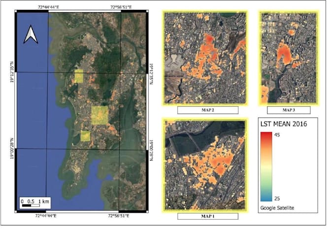
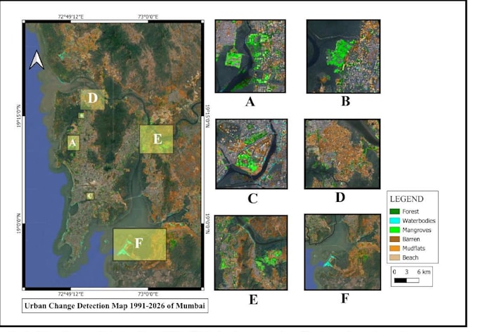
Need professional GIS mapping or satellite imagery analysis?
I provide GIS and remote sensing services using QGIS, SAGA GIS, and Google Earth Engine.
My services include:
What you will receive:
Please contact me before ordering to discuss your study area, available data, and required deliverables.
View my portfolio: https://snehash0509.github.io/SnehaSH0509/


What information do you need to create the map?
Please provide your spatial data, study area, and map requirements.