Browse categories
Explore
Fiverr Pro
English
$
USD

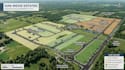
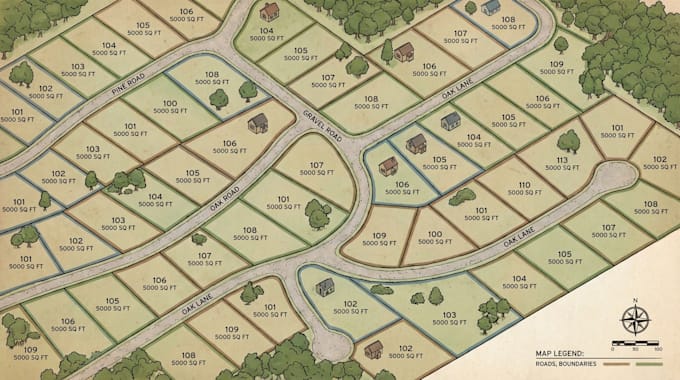
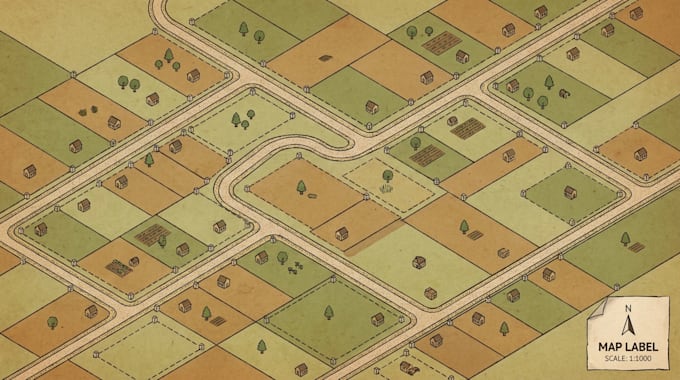
I create land subdivision maps, lot layouts, parcel maps, and site plans that present property divisions and development layouts in a clear, organized format. I help property owners, developers, and real estate businesses present land divisions through clear subdivision maps and organized site layouts. Whether you need a residential plot layout, a parcel division map, or a land plan showing access roads and lot numbers, I can prepare a map using the information you supply.
MY SERVICE INCLUDE
To begin, send your existing plan, land dimensions, coordinates, sketch, or other relevant reference material. Include the number of plots and the features you want displayed.
Each project is assessed according to its data, scale, and complexity. Please contact me before ordering large or technically complex projects.
My service focuses on map preparation and visual communication rather than certified surveying or legal approval.
Please inform the freelancer of any preferences or concerns regarding the use of AI tools in the completion and/or delivery of your order.
Map designer
Languages
What information do you need to create a subdivision map?
I need a land plan, sketch, parcel data, dimensions, coordinates, or other reference information showing the intended layout.
Can you map multiple plots on one property?
Yes, provided the number of plots and the required layout fit the selected package.
Can you include roads and plot numbers?
Yes. Internal roads, access routes, plot numbers, boundaries, labels, and legends can be included according to the package scope.
Can you include roads and plot numbers?
Yes. Internal roads, access routes, plot numbers, boundaries, labels, and legends can be included according to the package scope.
Can you work from a hand-drawn sketch?
Yes, if the sketch is clear enough to interpret. Please provide dimensions or coordinates where accuracy is important.