I will create a gis map from shapefile, kml or CSV data

S
stotsi98
S
stotsi98
Stoyan Valchev

About this gig

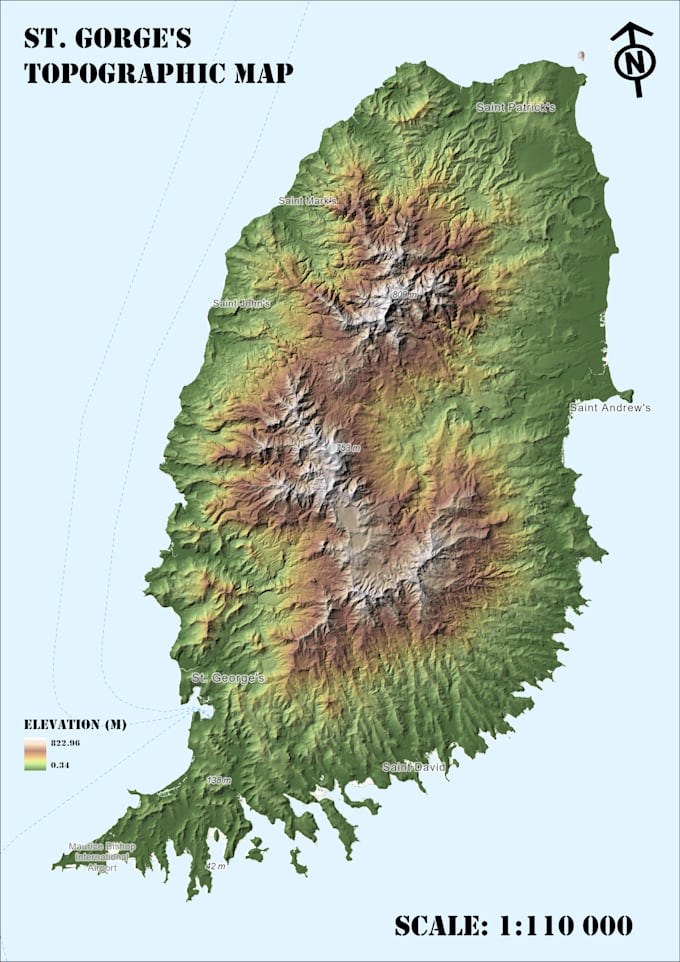
I will create a professional GIS map using ArcGIS Pro or QGIS based on your spatial data.

This service is ideal for research projects, environmental studies, spatial analysis, reports, and presentations.

I can work with different types of spatial data including:

Shapefiles

GeoJSON

KML / KMZ

Raster data

Excel or CSV files

What I can create:

thematic GIS maps

land use and land cover maps

environmental maps

satellite imagery maps

spatial data visualization

You will receive a high-quality map ready for reports presentations!

Output formats:

PNG

PDF

high-resolution map layout

If you have any questions, feel free to contact me before placing an order.

Get to know Stoyan Valchev

Stoyan Valchev
  • FromBulgaria
  • Member sinceAug 2021
  • Avg. response time1 hour
  • Languages

    English, Bulgarian, Spanish
I am a GIS specialist with experience in spatial analysis, cartography and remote sensing. I work with ArcGIS Pro, QGIS and satellite imagery (Sentinel and Landsat) to create professional maps, process spatial data and perform geospatial analysis. My experience includes environmental analysis, land use mapping, geocoding, satellite image processing (NDVI, LST) and working with large spatial datasets. I focus on delivering accurate, clear and visually professional GIS results for research, environmental projects and spatial data visualization. Feel free to contact me before placing an order.