I will do spatial analysis and gis mapping

S
sushmit1
S
sushmit1
Sushmita

Level 2

About this gig

With masters degree and research publications in Remote Sensing and GIS I am confident in providing a wide range of GIS mapping and Image processing services listed below:

  • Georeferencing, image co-registration
  • Digitization of raster maps, scanned maps and Google Earth maps to vector shapefiles (Point, Lines, and Polygon)
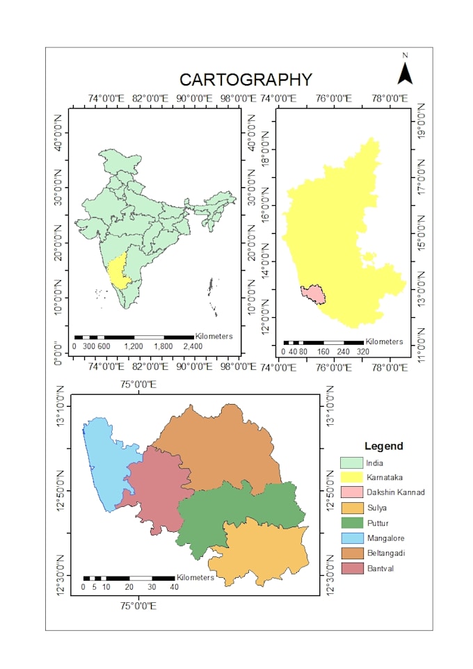
  • Cartography
  • Digital terrain analysis and topographic maps
  • Data conversion
  • Network analysis mapping
  • Hydrology analysis mapping
  • Web map creation
  • Site suitability assessment
  • Satellite image acquisition, preprocessing and data analysis
  • Supervised/unsupervised classification
  • Land use land cover mapping
  • Change detection
  • Image fusion, pan-sharpening, down-scaling
  • Land surface temperature retrieval


**Please contact me before placing your order. **

Get to know Sushmita

Sushmita

Master Your Moves, Personalized Chess Lessons For Every Player

4.9(138)

Level 2

  • FromIndia
  • Member sinceMar 2022
  • Avg. response time1 hour
  • Last delivery2 days
  • Languages

    English, Hindi
As a Geospatial Analyst with a Master's in Remote Sensing and GIS, I bring a high level of expertise in solving complex engineering problems using satellite data. My analytical skills are matched by my passion for chess, which I have been teaching both online and in-person for several years, enhancing strategic thinking. I'm also an avid reader and writer, constantly exploring and sharing new ideas. If you're seeking comprehensive data solutions or looking to enhance your chess skills, I am here to assist you with dedication and depth of knowledge.