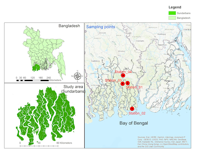
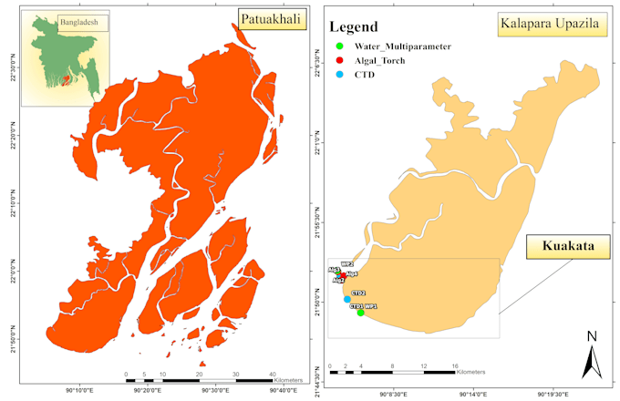
I provide professional GIS spatial analysis and mapping services using ArcGIS and Google Earth Engine.
Tools I Use
- ArcGIS
- R Programming
- Google Earth Pro
- Google Earth Engine
What I Offer
- GIS Mapping and Thematic Map Creation
- Spatial Analysis
- Study Area Map Preparation
- Shapefiles
- Interpolation maps
- Remote sensing
- Processing vector and raster data
- GPS Data Visualization and Processing
- Map Digitization and Feature Extraction
- Georeferencing and Coordinate System Correction
- High-quality Map Layouts (PDF/PNG)
Why Choose Me
- Accurate and reliable spatial analysis results
- Clean and professional map design
- Research and publication-ready outputs
- Clear communication throughout the project
- On-time delivery with attention to detail
If you have any customized requirements, please feel free to contact me so we can decide on the timeline, preferences, and cost.