I will make different normalized indexes such as ndvi, ndsi, ndbi

T
taswoorhussa233
T
taswoorhussa233
Taswoor Raza

About this gig


Welcome to my gig!


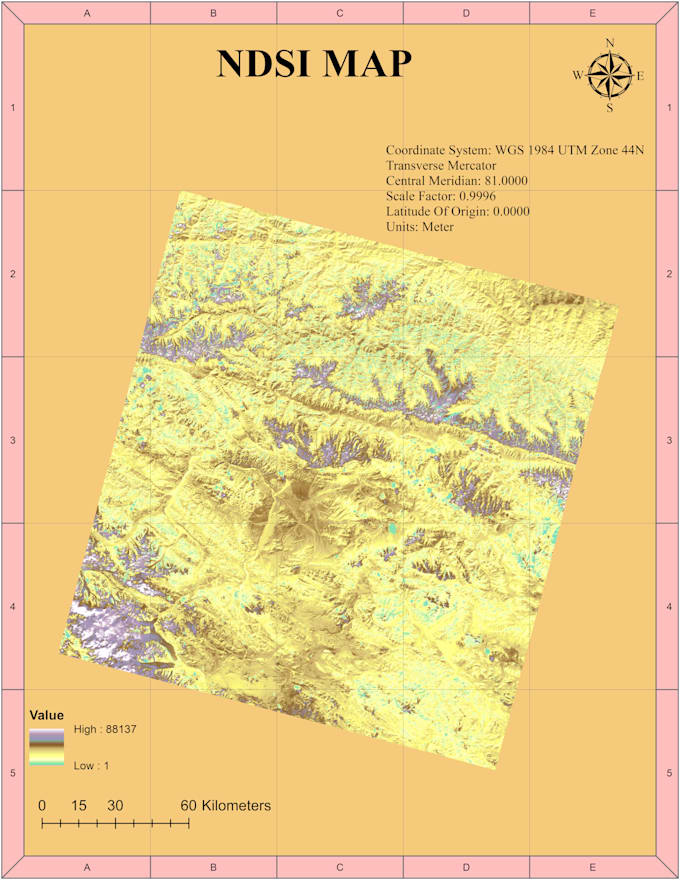
I specialize in creating detailed and accurate maps of Normalized Difference Indexes using ArcGIS and Google Earth Engine. With expertise in NDVI (Normalized Difference Vegetation Index), NDWI (Normalized Difference Water Index), NDSI (Normalized Difference Snow Index), and NDBI (Normalized Difference Built-up Index), I provide comprehensive maps that highlight specific features of your chosen area. Whether you're interested in vegetation, water bodies, snow cover, or urban development, my services will deliver high-quality, informative maps tailored to meet your needs.


Get to know Taswoor Raza

Taswoor Raza

Gis and Drone operation Expert

4.0(1)
  • FromPakistan
  • Member sinceMay 2023
  • Avg. response time1 hour
  • Last delivery2 years
  • Languages

    Urdu, English
"Hello! I'm Taswoor Hussain, your go-to expert for GIS and Drone operations. With a passion for precision and a keen eye for detail, I specialize in delivering top-notch Geographic Information Systems (GIS) services and seamless drone operations. Whether you need accurate mapping, spatial analysis, or professional drone footage, I bring a wealth of expertise to the table. Let's elevate your projects with cutting-edge technology and my commitment to excellence. Explore the world of possibilities with GIS and drone solutions tailored just for you!"