Browse categories
English
$
USD
Connect to your AI


Welcome to my Professional GIS Spatial Mapping & Analysis Service!
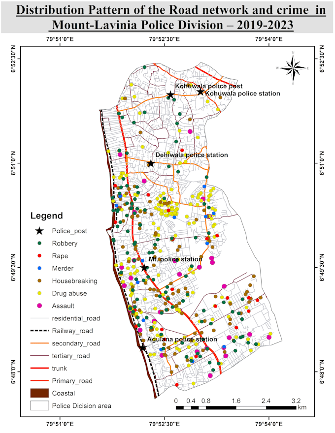
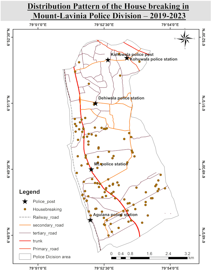
Are you looking for high-quality spatial mapping, point-pattern analysis, or thematic maps for research, spatial planning, or business analysis? I can help you turn raw spatial and tabular data into clear, accurate, and publication-ready GIS maps using QGIS and ArcGIS.
Services I Offer:
Why Choose Me?
Please contact me before placing an order to discuss your project requirements and dataset details!
GIS and Mapping Specialist
Languages
What file formats do I need to provide for mapping?
You can provide data in Shapefile (.shp), GeoJSON, KML/KMZ, CSV, Excel with coordinates, or scanned map images. If you don't have spatial data, contact me and I can help source it.
Which GIS software do you use to create the maps?
I primarily use QGIS and ArcGIS to perform spatial analysis, buffering, vector processing, and map layout design.
What deliverable formats will I get for the final map layout?
You will receive high-resolution publication-ready files in PDF, PNG, JPEG, or SVG formats suitable for printing or presentations.