Browse categories
Explore
Fiverr Pro
English
$
USD

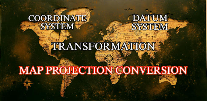

Fix Coordinate System & Projection Issues in ArcGIS Pro and QGIS
Are you experiencing coordinate system or projection errors in your GIS project?
I will professionally identify and fix projection, CRS, and alignment issues in ArcGIS Pro or QGIS, ensuring your spatial data is accurate and ready for analysis or mapping.
I can help with:
Supported Data Formats
Software
Why choose me?
Please contact me before placing an order if your project contains multiple datasets or requires extensive GIS analysis.
GIS Specialist
Languages
Do you work with ArcGIS Pro and QGIS?
Yes. I work with both ArcGIS Pro and QGIS depending on your project requirements.
Can you fix layers that don't align?
Yes. I can identify the cause of misalignment and correctly reproject or define the coordinate system so all layers align properly.
What file formats do you accept?
I accept Shapefiles, File Geodatabases, GeoJSON, KML/KMZ, GeoTIFF, CSV, Excel, DWG, DXF, and many other GIS formats.
Can you convert data from one projection to another?
Yes. I can convert datasets between coordinate systems while preserving spatial accuracy.
Do you provide source files?
Yes. I return the corrected GIS files in the required format.
Do you work on student GIS projects?
Yes. I can assist with GIS assignments, lab work, and academic mapping projects.
| (1) | ||
| (0) | ||
| (0) | ||
| (0) | ||
| (0) |
arcomapa
Repeat Client

Puerto Rico
Very professional 10/10! Handed in work on time and had great communication
$50-$100
Price
6 days
Duration

Seller's Response
| (1) | ||
| (0) | ||
| (0) | ||
| (0) | ||
| (0) |
arcomapa
Repeat Client
Puerto Rico
Very professional 10/10! Handed in work on time and had great communication
$50-$100
Price
6 days
Duration
Seller's Response
