Browse categories
English
$
USD
Connect to your AI
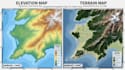
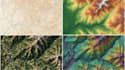
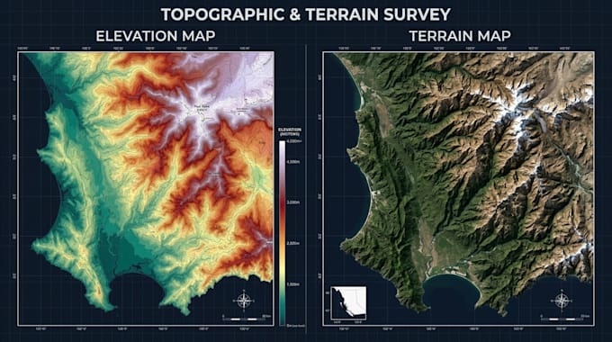
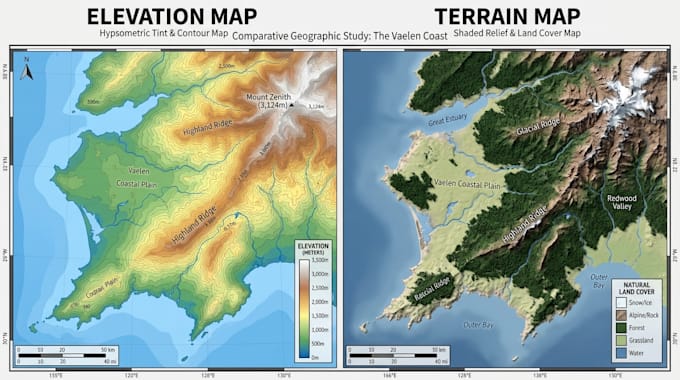
Are you looking for professional topographic map, contour map, elevation map, or terrain visualization? I will design detailed and visually appealing maps that represent landforms, elevations, terrain features, and geographic information accurately.
What I Offer:
Why Choose Me?
I focus on creating clean, detailed, and professional maps with organized layouts, readable labels, attractive color schemes, and clear terrain representation. I pay attention to your project requirements and provide designs suitable for presentations, reports, planning, research, and outdoor guides.
Whether you need a simple contour map or a detailed terrain visualization, I am ready to help.
I create topographic maps, contour maps, elevation maps and terrain maps.
Contact me today! let's discuss your project requirement and transform your geographic data or reference materials into a professional topographic map design.
Please inform the freelancer of any preferences or concerns regarding the use of AI tools in the completion and/or delivery of your order.
Hiking, Trail and Campground Map Designer
Languages
What types of maps do you create?
I create topographic maps, contour maps, elevation maps, terrain maps and relief maps.
Can you work with GIS data?
Yes, I can work with compatible GIS datasets and geographic reference files.
Can you create 3D terrain maps?
Yes, I can create attractive 3D terrain visualizations.
Can I provide my own elevation data?
Absolutely! You can provide DEM, GeoTIFF, shapefiles or other compatible data.
What file formats will I receive?
PNG, JPG and PDF, with vector or editable formats depending on the package.