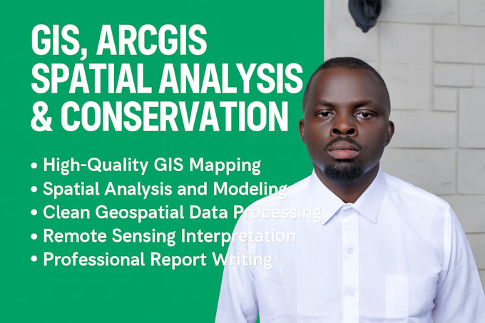
I will provide professional gis mapping, arcgis spatial analysis, and conservation

T
tomnyash
T
tomnyash
Thomas O

About this gig

I offer professional GIS, ArcGIS spatial analysis, and conservation mapping services tailored to your project needs. Whether you need a simple map, detailed spatial analysis, or a full environmental assessment, I provide accurate data processing, clear visual maps, and well-explained results.

My services include:

  • High-quality GIS map creation
  • Spatial analysis (buffering, overlays, terrain/DEM, hotspot analysis)
  • Remote sensing interpretation (LULC, NDVI, habitat mapping)
  • Conservation and ecological modeling
  • Clean data formatting & geoprocessing
  • Professional reports summarizing key findings
  • Multiple revisions depending on package

From basic maps, to advanced spatial insights, up to full conservation and environmental GIS reporting, I deliver reliable, publication-ready outputs customized to your requirements.

Get to know Thomas O

Thomas O
4.4(54)
  • FromKenya
  • Member sinceMar 2020
  • Last delivery7 months
  • Languages

    English
I am a well experienced and dependable professional with a Masters in Biology of Conservation from the University of Nairobi. I have a five-year experience that can deliver original articles and copy-writing. I am also proficient in data collection, analysis, and presentation. I uphold high standards in time management, quality, and competent work.