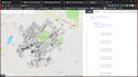
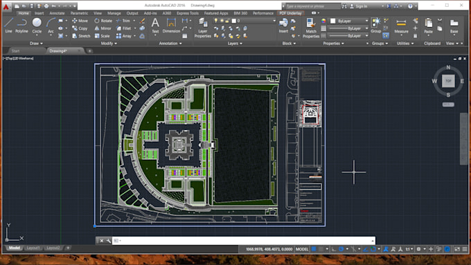
I will convert cad drawings to geocoded map

T
tutor_ben
T
tutor_ben
Ben M
5.0
5.0

About this gig

I will convert your CAD drawings into geocoded data that can be loaded onto a Mapbox or OpenLayers street map and will fit as to the layout on the ground

Get to know Ben M

Ben M

Senior GIS Analyst

5.0(19)
  • FromKenya
  • Member sinceMar 2018
  • Avg. response time1 hour
  • Last delivery9 months
  • Languages

    English
This is Ben. I have expertise in many GIS applications: GIS mapping, Spatial Analysis, Geospatial Data Visualization, Location Intelligence, Geo Database Management, Digitization, and Georeferencing. I use ArcGIS Pro, ArcMap, ArcGIS Online, QGIS, ERDAS, ENVI, Google Earth Pro, etc. Remote Sensing Applications : Satellite Image Processing, DEM, Lidar, Land Use Classification, Temporal Data Analysis, Spectral Indices, etc. Get in touch to transform the spatial data and ideas into visual content. Thanks

My Portfolio

Reviews

1 reviews for this Gig
5.0

(1)
(0)
(0)
(0)
(0)
Rating Breakdown
  • Seller communication level
    5
  • Recommend to a friend
    5
  • Service as described
    5
Sort By
Most relevant
  • K

    ktmrider76

    US

    United States

    5

    Very easy to deal with and was very talented, Thanks Ben!!!

    Helpful?
    Yes
    No
Reviews

1 reviews for this Gig
5.0

(1)
(0)
(0)
(0)
(0)
Rating Breakdown
  • Seller communication level
    5
  • Recommend to a friend
    5
  • Service as described
    5
Sort By
Most relevant
  • K

    ktmrider76

    US

    United States

    5

    Very easy to deal with and was very talented, Thanks Ben!!!

    Helpful?
    Yes
    No

Related tags