Browse categories
English
$
USD
Connect to your AI
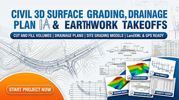
Need accurate, permit-ready grading plans, stormwater drainage design, or precise earthwork volume takeoffs? I specialize in AutoCAD Civil 3D surface grading, pipe network modeling, and cut and fill quantification for civil engineers, contractors, and site developers.
Services Offered:
Why Hire Me:
Send your survey data, CAD files, or PDF plans to get started!
Project scale:
Neighborhood
Building type:
Residential
•
Commercial
•
Industrial
Material speciality:
Concrete
•
Other
Please inform the freelancer of any preferences or concerns regarding the use of AI tools in the completion and/or delivery of your order.
What inputs are required to start the grading and earthwork takeoff?
Provide 2D/3D CAD files (.DWG), PDF site plans, point cloud data (.LAS/.RCS), or raw survey point data (.CSV/.TXT) along with your site requirements.
How are the cut and fill earthwork volumes calculated?
Volumes are generated directly in AutoCAD Civil 3D by comparing existing ground (EG) surfaces against proposed finished grade (FG) surfaces to provide precise net cut/fill quantities.
Will the drainage and pipe network designs meet permit standards?
Yes, pipe networks and pond models are designed with proper slopes, structure invert elevations, and hydraulic grade line (HGL) profiles ready for engineering review.
Can you deliver files ready for GPS machine control equipment?
Absolutely. You will receive clean LandXML (.xml) surface models and 3D DXF files compatible with Trimble, Topcon, and Leica site systems.
