Browse categories
English
$
USD
Connect to your AI
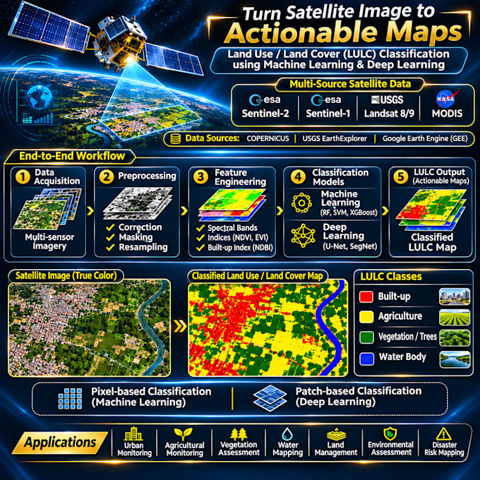
Need an accurate land use land cover (LULC) map from satellite imagery? I will classify your study area using Google Earth Engine, Python and GIS, deliver accurate results.
I will do
- Supervised classification (Random Forest, SVM, CART)
-Deep learning classification using U-Net Semantic Segmentation
- Mineral exploration using Sentinel, Landsat and MODIES.
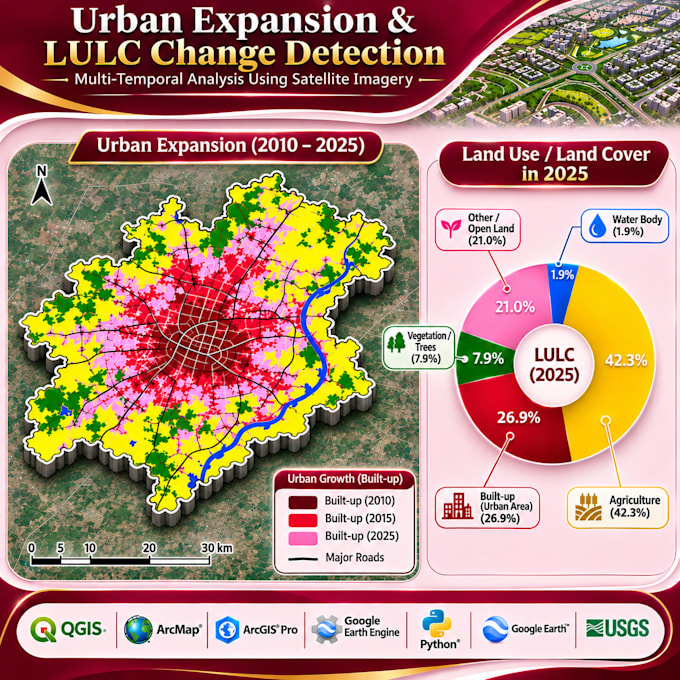
- Multi-year change detection and area statistics
- Accuracy assessment (confusion matrix, overall accuracy, Kappa)
WHAT YOU RECEIVE
- Classified map (GeoTIFF)
- Layout map (PNG/PDF) with legend
- Accuracy report
- Area statistics per class
- GEE script
WHAT I NEED FROM YOU
- Study area boundary (shapefile, KML or GeoJSON)
- Year(s) of interest
- Preferred classes (e.g., built-up, vegetation, agriculture, water and barren land)
Ideal for students, researchers, thesis work, NGOs, consultants, and urban or agricultural planning projects.
Please message me before ordering with your study area and years so I can confirm the scope. Let's turn satellite data into useful maps!