Browse categories
English
$
USD
Connect to your AI

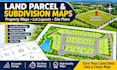
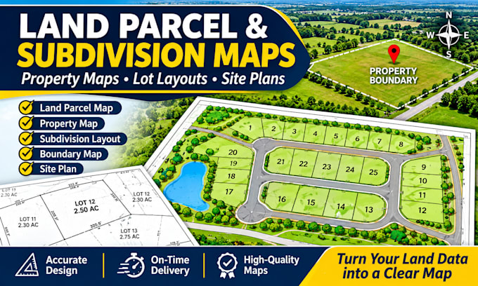
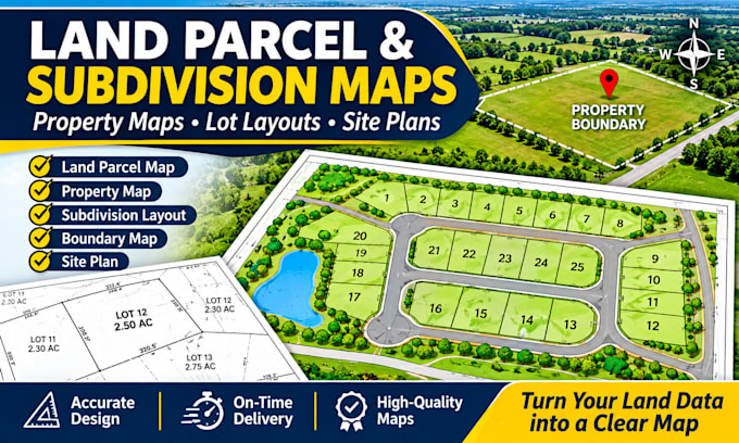
Do you need a clear and professional land parcel map or property layout?
I will design custom land parcel maps, property maps and subdivision layouts for landowners, real estate businesses, property developers and other clients.
I can help turn your sketches, drawings and supplied property information into clean and easy to read maps.
My services include:
What you will receive:
I can work from your existing map, sketch, PDF, CAD drawing or other reference files.
Please contact me before ordering if your project is large or has special requirements.
Let's turn your property information into a clear and professional map!
Please inform the freelancer of any preferences or concerns regarding the use of AI tools in the completion and/or delivery of your order.
Professional Map Designer
Languages
What do you need to start my project?
Please send your property sketch, existing map, PDF, CAD drawing or other reference files. Also provide the parcel information and details you want displayed.
Q2: Can you create subdivision layouts?
Yes. I can create clear subdivision layouts showing individual lots, roads, access areas and labels using the information you provide.
Can you number and label each parcel?
Yes. I can add lot numbers, parcel names, dimensions and area labels based on your supplied information.
: Can you show property boundaries?
Yes. I can illustrate boundaries from your supplied survey, CAD or other reliable source data.