Browse categories
Explore
Fiverr Pro
English
$
USD

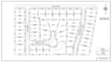
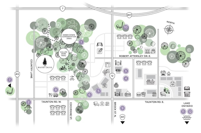
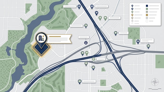
I create custom real estate maps, subdivision maps, property maps, and site plan illustrations that transform sketches, existing drawings, surveys, and reference images into clean, organized, presentation ready visuals.
Whether you're marketing a property, showcasing a residential community, presenting a land development, or explaining a property's layout, I focus on clear labeling, organized layouts, readable details, and a professional appearance.
MY SERVICES INCLUDE
WHAT YOU WILL RECEIVE
Depending on your selected package, you can receive a high-resolution PDF, PNG or JPG, with editable source files available if included.
I can work from sketches, existing plans, PDFs, CAD drawings, survey information, or marked reference images. The final map will be tailored to your project requirements and intended use.
Please inform the freelancer of any preferences or concerns regarding the use of AI tools in the completion and/or delivery of your order.
Map Designer and Site Visualizer
Languages
Can you create a property map from a sketch or reference image?
Yes. I can use a sketch, existing drawing, PDF, CAD file or reference image to create a clean, professionally organized map, provided the source information is sufficient.
Can you design subdivision maps with multiple lots?
Yes. I can create subdivision and community map illustrations showing lot divisions, roads, labels and selected amenities. The number of lots and complexity must fit the selected package.
Can you include buildings, parking, roads and amenities?
Yes. These features can be included when you provide the relevant information or reference layout.
Which file formats do you deliver?
Standard deliverables can include PDF, PNG and JPG. Editable source files are available in the formats specified in the selected package.
Can you create a map suitable for real estate marketing?
Yes. I can use clear labels, selected landmarks, custom colors and a polished layout suitable for property listings, brochures, websites and presentations.
Can you work with large properties or complex developments?
Yes, subject to reviewing the scope, source information, site size and level of detail. Please contact me before ordering for large or complex projects.
Does your map count as an official survey or permit-approved plan?
No. The required professional services are separately provided by an appropriately qualified professional, these deliverables are for illustration and presentation. Official surveys, certified plats, and permit submissions may require licensed professionals and jurisdiction specific requirements