Browse categories
Explore
Fiverr Pro
English
$
USD


Are you looking for a professional GIS Specialist to create accurate maps or perform complex spatial analysis? You have come to the right place!
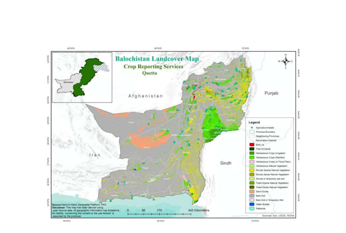
I offer expert GIS mapping, cartography, and spatial analysis services using ArcGIS Pro, ArcMap, QGIS, and Google Earth Pro. Whether you need simple vector digitization or advanced remote sensing analysis, I am here to deliver high-quality, presentation-ready maps tailored to your exact needs.
My Services Include:
- GIS Mapping & Custom Cartography
- Spatial Analysis & Spatial Statistics
- Digitization & Vectorization (Points, Lines, Polygons)
- Georeferencing & Coordinate System Transformation
- Land Use / Land Cover (LULC) Classification
- Remote Sensing & Satellite Image Processing
- Topographic, Contour, & Elevation Mapping
- Hydrological & Watershed Analysis
- Data Conversion (Shapefile, GeoJSON, KML, CSV, Excel to Map)
Software Expertise:
- ArcGIS Pro & ArcMap
- QGIS
- ERDAS Imagine
- Google Earth Pro
Why Choose Me?
- High-Resolution Output (PDF, PNG, JPEG, TIFF)
- Complete Source Files Included (.mxd, .aprx, Shapefiles)
- High Accuracy & Clean Layouts
- Fast Delivery & Excellent Communication
Contact before placing order
Languages
1 Question: What software do you use for GIS mapping and analysis?
Answer: I primarily use ArcGIS Pro, ArcMap (10.x), QGIS, and Google Earth Pro depending on the project requirements and your preference.
Question: What data formats do I need to provide?
Answer: You can provide data in any format including Shapefiles (.shp), GeoJSON, KML/KMZ, Excel/CSV (with coordinates), Satellite Images, CAD files (.dwg), or PDF maps. If you don't have data, I can also source public spatial data for you.
Question: Will I receive the editable source files?
Answer: Yes! Depending on your chosen package, I deliver editable source files including ArcGIS Project files (.mxd, .aprx), Shapefiles, and GeoTIFFs along with the high-resolution map images.
Question: In what file formats will the final map be delivered?
Answer: I will deliver high-resolution, print-ready maps in PDF, PNG, JPEG, or TIFF formats according to your layout dimensions (A4, A3, Poster size, etc.).
Question: Can you handle custom spatial analysis and remote sensing projects?
Answer: Absolutely! I can perform advanced spatial analysis, Land Use / Land Cover (LULC) classification, topographic mapping, watershed analysis, and satellite image processing. Please inbox me to discuss custom requirements.