Welcome to my services:
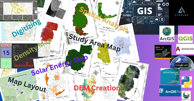
- Design Custom Maps(study areas, research maps, etc.)
- Create Shapefiles, Feature Classes, and Geodatabases.
- Convert KML, KMZ, and AutoCAD files.
- Provide GPS coordinates and Coordinate System services.
- Perform Georeferencing tasks.
- Spatial Analysis
- Raster/Vector analysis
- Change Detection
- Image Classification (Supervised/ Unsupervised)
- Digitize Points, Lines, and Polygons into Vector formats.
- Conduct Spatial Analysis.
- Generate DEM/TIN (Digital Elevation Models).
- Extract Lineaments from satellite images.
- Produce Density Maps.
- Create Topographic Maps (Contours, Shaded Relief, Aspect, Slope).
And much more.
Software I use
ArcGIS Desktop, ArcMap, ArcGIS Pro, QGIS, Erdas Imagine, Google Earth etc.
Feel free to reach out for more details or specific requests.
.......................VINDY92 .......................
----Feel free to contact me regarding any questions and orders.----