Browse categories
Explore
Fiverr Pro
English
$
USD


Looking for professional topographic contour maps or digital elevation models (DEM)?
I provide high-precision terrain modeling, contour generation, and elevation data processing using QGIS and ArcGIS. Whether for site planning, engineering, real estate, or outdoor recreation, I deliver clean, accurate geospatial outputs.
What I offer:
Topographic contour lines with custom intervals (1m, 5m, 10m, etc.)
DEM / DTM / DSM surface processing (Copernicus, SRTM, LiDAR, USGS)
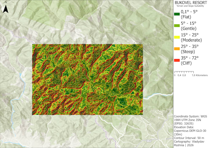
Hillshade, slope gradient, and aspect analysis maps
Watershed, catchment area, and drainage modeling
3D terrain visualization & elevation profiles
Accurate Coordinate Reference System (CRS) projection
Deliverables:
Vector formats: Shapefile (.shp), GeoPackage (.gpkg), DXF/DWG, KML/KMZ
Raster formats: GeoTIFF, DEM, ASCII
Print-ready maps (PDF, PNG, JPG) with professional layout (legend, scale, north arrow)
Software: QGIS | ArcGIS Pro | Global Mapper
Please message me with your project location (coordinates or KML boundary) before placing an order!
GIS Specialist, Cartographer, QGIS, ArcGIS Pro
Languages