Browse categories
English
$
USD
Connect to your AI

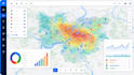
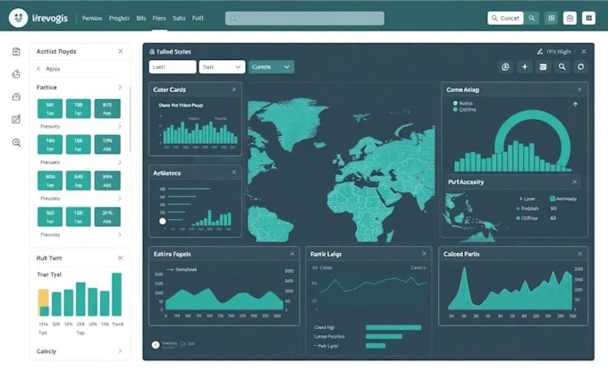
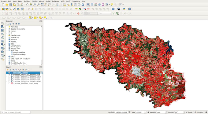
Are you looking for professional GeoAI solutions, WebGIS applications, interactive maps, or geospatial data analysis?
You are in the right place!
I will develop customized GIS and WebGIS solutions that help you visualize, analyze, manage, and understand spatial data.
My services include:
Interactive WebGIS maps and web mapping applications
GeoAI and AI-powered geospatial solutions
GIS data processing and spatial analysis
Geospatial data visualization and dashboards
Custom mapping applications
Location-based data analysis
Environmental and land-use mapping
Spatial data management and visualization
Custom geospatial web applications
Tools and technologies (depending on project requirements):
QGIS, ArcGIS, Python, GeoPandas, Leaflet, OpenLayers, Mapbox, PostGIS, GeoServer, JavaScript and HTML/CSS.
Why choose my services?
Customized solutions based on your requirements
Professional and clear map visualizations
Organized and accurate geospatial outputs
Responsive communication
Attention to detail
Revisions according to the selected package
Whether you need a simple interactive map, a GIS analysis, or a complete WebGIS application, I am ready to help turn your geospatial data into meanin
DATA ANALYST , APP DEVELOPER , WEB PROGRAMMER
Languages
Q1. What information do you need to start?
I need your project description, geospatial data (if available), preferred map style, location of interest and required features.
Can you create interactive web maps?
Yes. I can develop interactive web maps with features such as zooming, markers, popups, multiple layers and map controls, depending on the selected package.
Do you work with shapefiles, GeoJSON and CSV files?
Yes. I can work with supported GIS formats, including Shapefile, GeoJSON, CSV and other compatible geospatial datasets.
Can you build a custom WebGIS application?
Yes. I can create customized WebGIS applications based on your project requirements and available data.
Do you provide source code?
Yes, source code can be included depending on the package or agreed project scope.
Can you work with existing GIS projects?
Yes. I can help improve, update, visualize or extend existing GIS projects.