Browse categories
English
$
USD
Connect to your AI

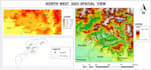

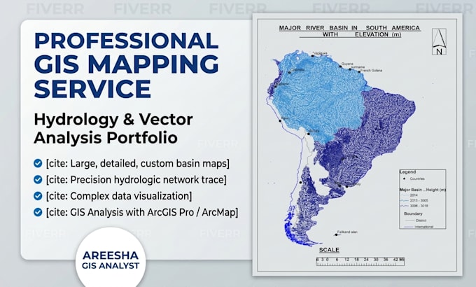
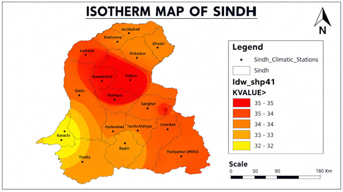
Welcome to my professional GIS and Cartography Gig! Are you looking for high-quality, precise, and visually engaging maps for your project, presentation, research, or business? You are in the right place!
I am a professional GIS and Remote Sensing Analyst with extensive experience in spatial analysis, vectorization, and professional cartographic layout design using tools like ArcGIS Pro, ArcMap, and QGIS.
Services I Offer:
Why Choose Me?
Note: Please message me before placing an order to discuss your pr
GIS and Remote Sensing Analyst, Cartographer
Languages
What software do you use for GIS and mapping?
I primarily use ArcGIS Pro, ArcMap, and Canva for spatial analysis, vectorization, and professional cartographic layout design.
What files do I need to provide to start?
You can provide shapefiles, raster data, satellite imagery, Excel coordinates, or even a sketch/PDF with instructions.