Browse categories
English
$
USD
Connect to your AI

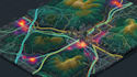
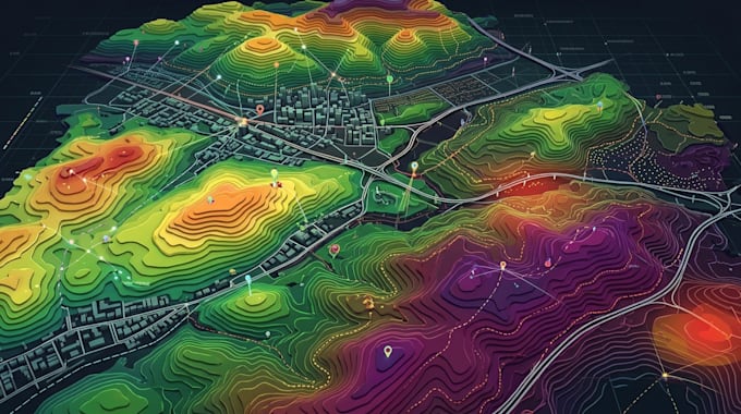
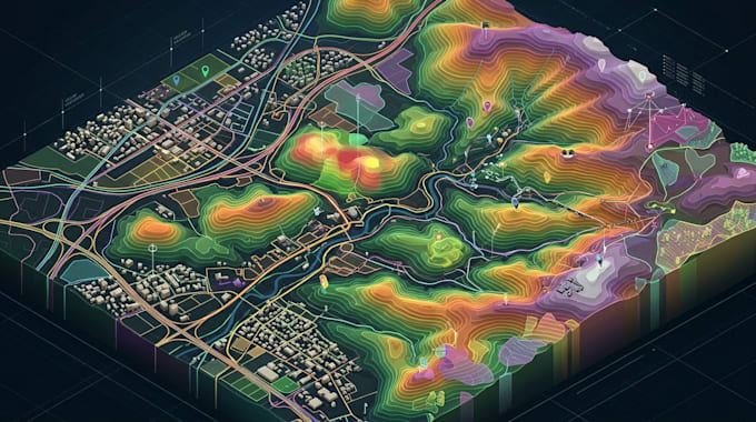
Geographic information becomes easier to understand when it is presented through a well-organized map. I design 2D GIS maps, vector maps, spatial visualizations, and thematic maps for clients who need geographic data displayed clearly. Whether your project involves administrative boundaries, land-use patterns, population data, transportation networks, or other geographic information, I can help organize the available data into a useful map layout.
MY SERVICE INCLUDE
To get started, send your source data or reference materials, the location being mapped, the features you want displayed, and your preferred output format.
Each project is assessed according to its data quality, complexity, and required level of detail. Please discuss specialized analysis or large datasets before placing an order.
Please inform the freelancer of any preferences or concerns regarding the use of AI tools in the completion and/or delivery of your order.
Map designer
Languages
What types of GIS maps can you create?
I can create 2D GIS maps, thematic maps, vector maps, administrative maps, land-use maps, and other geographic visualizations based on your project requirements.
Can you work with my existing GIS data?
Yes, provided the files are supported and contain suitable information for the requested map.
Can you create thematic maps from statistical data?
Yes. Suitable geographic and statistical data can be used to represent patterns such as population, land use, or regional differences.
Which GIS software do you use?
The software used will depend on your project requirements and the tools available for the work. Please confirm any specific software requirement before ordering.
Which file formats can you deliver?
Common outputs include PNG, JPG, and PDF. GIS datasets and editable project files may also be available depending on the software and package.
Can you prepare maps for reports and academic projects?
Yes. I can prepare map layouts for reports, presentations, research, and other projects using the geographic information you provide.