Browse categories
English
$
USD
Connect to your AI



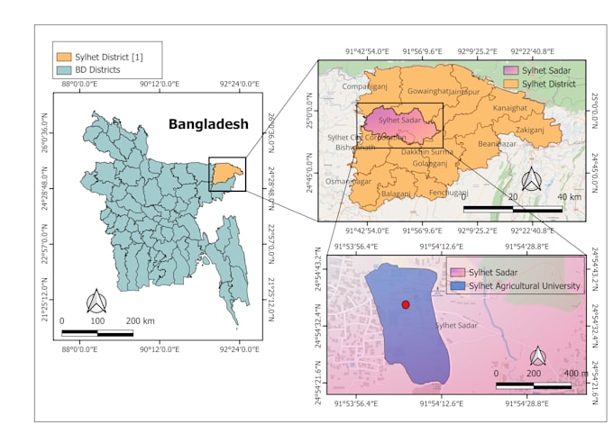
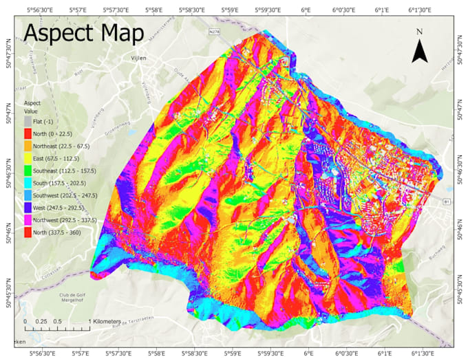
I create publication-ready GIS maps using QGIS and ArcGIS, formatted to match journal and university requirements.
WHAT YOU GET
HOW IT WORKS
1. Send me your location, shapefile/KML, or coordinates
2. I send a draft map
3. I revise until you are satisfied
WHY ME ?
I am an MSc student in Remote Sensing & GIS with hands-on experience in spatial data and flood/inundation mapping. I know what supervisors and reviewers look for. Message me before ordering with your study area and requirements, and I will recommend the best package.
Handwriting Expert, GIS Mapping, Academic Typing, Data Entry
Languages