Hello
I am a GIS Engineer with 5 years of experience in 2D and 3D web application, interactive mapping, complex spatial analysis, data integration, geodata visualization, pre-processing, geodata analytics, and application deployment.
I am an expert in several GIS Tools, frameworks, and APIs including CesiumJS, Mapbox, leaflet, ArcGIS JS API, with React, Angular.
Services you will get:
- Spatial Data Visualization in cesium viewer
- Pre-process data into a cesium-supported data format.
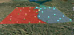
- Drawing tool for point, line, polygon, rectangle, circle.
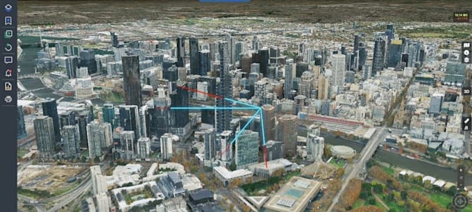
- GIS data processing (Measurement tool, custom popup, Viewshed analysis, Line of sight)
- Drawing tool in cesium
- Drag and Drop Feature
- Custom camera controlling
- Info extraction from feature and displaying it in custom popup
- Cesium with ReactJS/NextJS
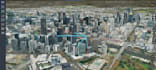
- 3D Real Estate cesium map
- Asset management in cesium JS
- Supported Data format (point, polyline, polygon, 3D model, 3D tile, terrain, aerial or satellite image, geoJSON, CityGML, geoTiff, shapefiles etc.)
WHY ME?
- Long Term Relationship.
- Quality work and output.
- Fast Delivery.
- After-sales support
- Final delivery upon satisfaction
Note: Please message me before placing your order