Browse categories
Explore
Fiverr Pro
English
$
USD

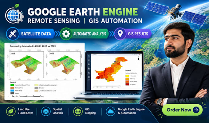
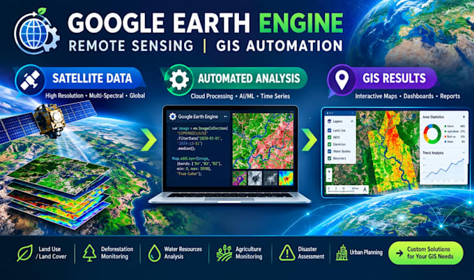
Are you looking for professional Google Earth Engine (GEE) automation and Remote Sensing analysis?
I will develop customized and efficient Google Earth Engine scripts to automate satellite image processing, remote sensing workflows, and GIS analysis.
What I can do:
* Google Earth Engine scripting and automation
* Sentinel-1 / Sentinel-2 analysis
* Landsat image processing
* MODIS-based analysis
* NDVI, NDWI, NDBI and other spectral indices
* Land Use / Land Cover (LULC) classification
* Supervised and unsupervised classification
* Vegetation and agricultural monitoring
* Land cover and environmental change detection
* Time-series analysis
* Image filtering, masking and compositing
* Satellite image preprocessing
* Spatial analysis and zonal statistics
* Area calculation and statistical analysis
* Custom study-area analysis
* Export results to GeoTIFF, CSV and other formats
* Automated and reproducible remote sensing workflows
* GIS-ready raster and vector outputs
Whether you need vegetation monitoring, land-cover mapping, environmental analysis, satellite image processing, or a customized Google Earth Engine workflow, I can develop a solution according to your requirements.
Languages
Do you work with Google Earth Engine?
Yes. I develop customized Google Earth Engine workflows for satellite image processing, remote sensing and GIS analysis.
Which satellite datasets can you use?
I can work with commonly available datasets such as Sentinel-1, Sentinel-2, Landsat and MODIS, depending on the project requirements.
Can you automate my existing workflow?
Yes. I can convert repetitive remote sensing/GIS workflows into automated Google Earth Engine scripts.
Can you calculate NDVI, NDWI and NDBI?
Yes. I can implement different spectral indices according to your project requirements.
Can you perform LULC classification?
Yes. I can develop customized land-use/land-cover classification workflows using suitable satellite data and classification methods.
Can you export the results?
Yes. Results can be prepared for export in appropriate formats such as GeoTIFF, CSV and GIS-compatible outputs, depending on the analysis.
Can you work with my AOI?
Yes. You can provide a shapefile, GeoJSON, KML/KMZ, coordinates, or another suitable boundary/reference.